


Die ggst. Tour wurde darauf ausgelegt möglichst leicht Höhenmeter zu machen und anschließend über tolle Wege (Steige, Wald- und Forstwege) zurück zu fahren.
Von Arco startend geht es zunächst auf einer asphaltierten Straße hinauf zu San Giovanni (ca. 1050hm). Oben angekommen, kann man in einem Gasthaus mit gemütlichen Garten einkehren.
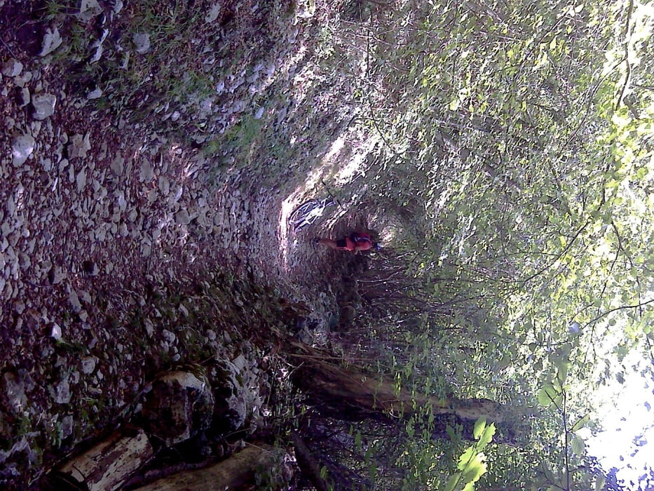
Anschließend geht es über Wald- und Forstwege zum Tenno See. Einzelne Passagen können nur schwer -aufgrund groben Untergrund - befahren werden. Diese sind aber nur sehr kurz und machen der Freude keinen Abbruch.
Am Tenno See angekommen, kann man sich optimal abkühlen bevor es auf tollen Seitenwegen wieder zurück nach Arco geht.
Further information at
http://www.gardatrentino.it/de/arco-gardasee-trentino/?gclid=CL6Sr7ruyLICFQ1Z3godLSgAfAGalerija izletov

Zemljevid in višinski profil izleta
Minimum height 95 m
Maximum height 1147 m
More about the tour author

|
erni0815 |
Komentarji

auf googel einfach "ARCO" eingeben!
Poti GPS
Trackpoints-
GPX / Garmin Map Source (gpx) download
-
TCX / Garmin Training Center® (tcx) download
-
CRS / Garmin Training Center® (crs) download
-
Google Earth (kml) download
-
G7ToWin (g7t) download
-
TTQV (trk) download
-
Overlay (ovl) download
-
Fugawi (txt) download
-
Kompass (DAV) Track (tk) download
-
List z izleti (pdf) download
-
Original file of the author (gpx) download
More about the tour author
|
|
erni0815 |
Add to my favorites
Remove from my favorites
Edit tags
Open track
My score
Rate