Login

Si pozabil/a podatke za prijavo?

Cookies have to be accepted!
Your browser's cookie functionality is disabled. Please enable this functionality.

Not a member yet?

Register now
Login

Available for registred users only

Log in to use this feature.

Si pozabil/a podatke za prijavo?

Cookies have to be accepted!
Your browser's cookie functionality is disabled. Please enable this functionality.

Not a member yet?

Register now
Filter
Kategorije
Advanced filters
  • Dolžina (km)
  • Metri nadmorske višine
Shrani filter Reset filter

TrackRank

QRCode

Technical data

Dolžina63,1 km Metri nadmorske višine535 m Way down455 m Trajanje04:00 h:m Datum23.09.2012
Ocene Author Pokrajina Dejavnik zabave Kondicija Tehnika

Statistika

720 Pogledi Ocene 65 Prenosi Povprečje
Rate
  • List z izleti
  • Prihod
  • Prenosi

23.09.2012

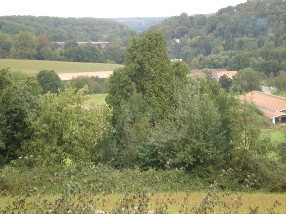
Von Angermund aus zur Alten Fähre Essen-Kettwig. Ab dort rd. 25km den hervorragend ausgebauten Panoramaradweg über Heiligenhaus, Velbert bis Wülfrath. Ab dort ins Angerbachtal über Auermühle, Blauer See zurück nach Angermund.

Achtung: hinter der Auermühle kurze Schiebepassage an der Papiermühle. Kann über Straße zum Blauen See aber auch einfach umfahren werden.


Galerija izletov

Zemljevid in višinski profil izleta

  • Open Street Map
  • Google
Minimum height -24 m Maximum height 280 m Prikaz podrobnosti

More about the tour author

GuenterM
Member since 2010

Send private message

Komentarji

Poti GPS

Trackpoints
  • GPX / Garmin Map Source (gpx) download
  • TCX / Garmin Training Center® (tcx) download
  • CRS / Garmin Training Center® (crs) download
  • Google Earth (kml) download
  • G7ToWin (g7t) download
  • TTQV (trk) download
  • Overlay (ovl) download
  • Fugawi (txt) download
  • Kompass (DAV) Track (tk) download
  • List z izleti (pdf) download
  • Original file of the author (gpx) download

More about the tour author

GuenterM
Member since 2010

Send private message
Share track
Add to my favorites
Remove from my favorites
Edit tags
My score
Rate
Izlet: Panoramaradweg Velbert-Wülfrath
Vrsta: Treking kolo
Dolžina: 63,1 km
Evaluated on:
Trajanje:
Day(s)
Hour(s)
Minute(s)
Ocena: Pokrajina Dejavnik zabave Kondicija Tehnika