Login

Si pozabil/a podatke za prijavo?

Cookies have to be accepted!
Your browser's cookie functionality is disabled. Please enable this functionality.

Not a member yet?

Register now
Login

Available for registred users only

Log in to use this feature.

Si pozabil/a podatke za prijavo?

Cookies have to be accepted!
Your browser's cookie functionality is disabled. Please enable this functionality.

Not a member yet?

Register now
Filter
Kategorije
Advanced filters
  • Dolžina (km)
  • Metri nadmorske višine
Shrani filter Reset filter

TrackRank

QRCode

Technical data

Dolžina9,7 km Metri nadmorske višine527 m Way down475 m Trajanje02:30 h:m Datum23.09.2012
Ocene Author Pokrajina Dejavnik zabave Kondicija Tehnika

Statistika

350 Pogledi Ocene 52 Prenosi Povprečje
Rate
  • List z izleti
  • Prihod
  • Prenosi

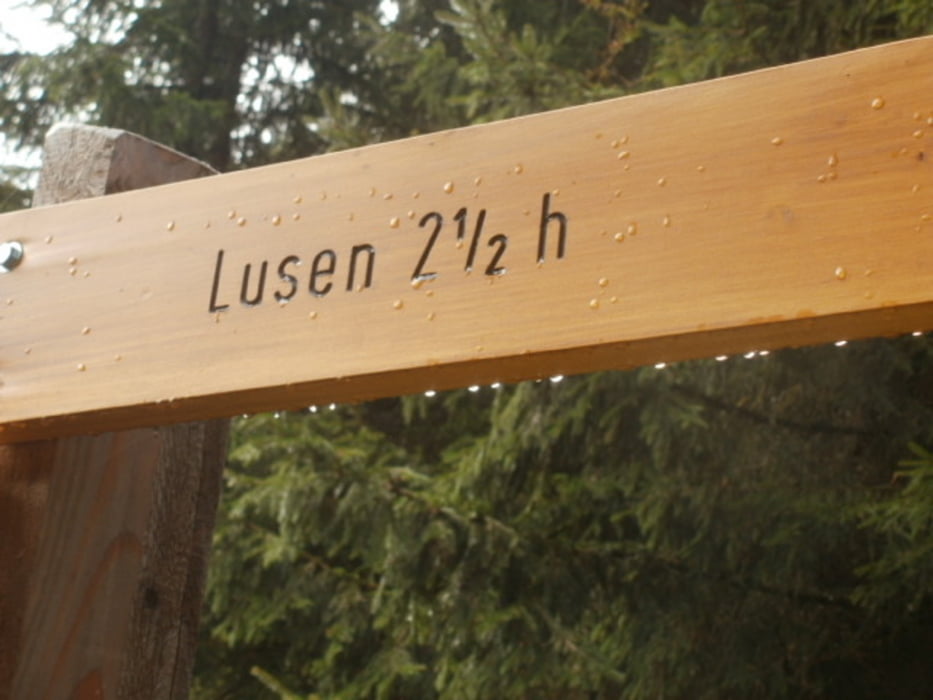
Diese Tour ist zwar gut beschildert so dass man das GPS nicht unbedingt benötigt, aber wir mussten ein gutes Stück suchen bis wir den Einstieg fanden.

viel Spass.


Galerija izletov

Zemljevid in višinski profil izleta

  • Open Street Map
  • Google
Minimum height 823 m Maximum height 1375 m Prikaz podrobnosti

More about the tour author

berndhuber
Member since 2008

Send private message

Komentarji

A3 > Freyung > Finsterau


Poti GPS

Trackpoints
  • GPX / Garmin Map Source (gpx) download
  • TCX / Garmin Training Center® (tcx) download
  • CRS / Garmin Training Center® (crs) download
  • Google Earth (kml) download
  • G7ToWin (g7t) download
  • TTQV (trk) download
  • Overlay (ovl) download
  • Fugawi (txt) download
  • Kompass (DAV) Track (tk) download
  • List z izleti (pdf) download
  • Original file of the author (gpx) download

More about the tour author

berndhuber
Member since 2008

Send private message
Share track
Add to my favorites
Remove from my favorites
Edit tags
My score
Rate
Izlet: Rauf zum Lusen
Vrsta: Pešačenje
Dolžina: 9,7 km
Evaluated on:
Trajanje:
Day(s)
Hour(s)
Minute(s)
Ocena: Pokrajina Dejavnik zabave Kondicija Tehnika