


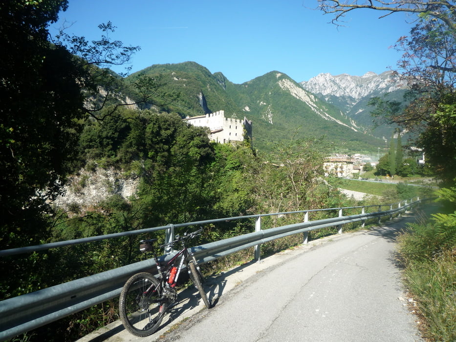
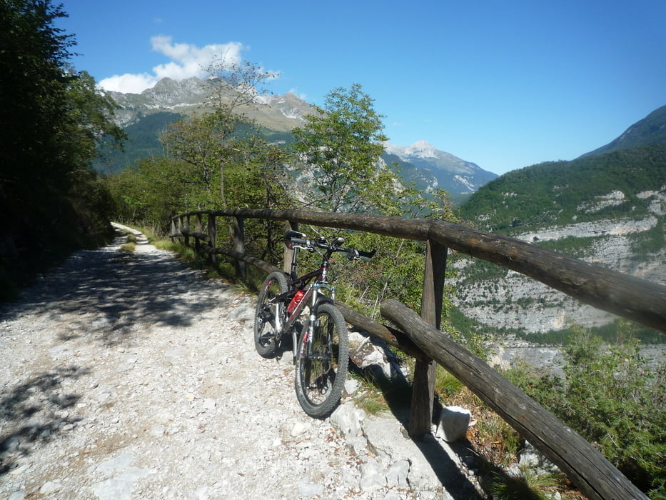
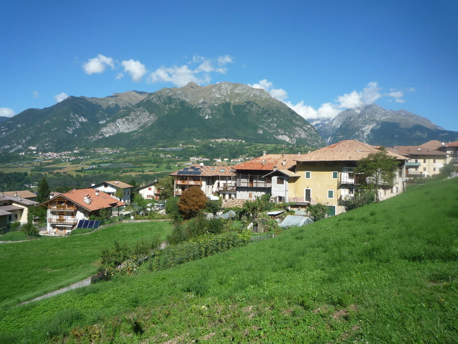
Die Tour beginnt in Arco und führt uns schnell auf Straße nach Varignano.Von hier geht es teils über Teer und Beton durch Oliven und Weinberge zum Mittelalterlichen Dörfchen Canale.Nun fahren wir über Schotter durch Wald am Tennosee vorbei nach Ballino.Nach 1 Km Straße geht es links ab auf Schotter durch den Wald und Teer durch die Felder nach Fiave und Vigo Lomaso.Nach dem wir einen alten Feldweg gefahren sind geht es weiter auf der Straße nach Comano.Nun kommt der Höhepunkt der Tour der Weg zum P.so della Morte und hinunter auf den neuen Radweg .Der lässt das Bikerherz höher schlagen mit seiner tollen Aussicht und Super Abfahrt. Am Ende vom Radweg müssen wir noch 2 Km auf der stark befahrenen Straße nach Sarche fahren und weiter auf Radwegen nach Arco.
Galerija izletov

Zemljevid in višinski profil izleta
Minimum height 4 m
Maximum height 857 m
More about the tour author
|
|
baumgarten |
Komentarji
Poti GPS
Trackpoints-
GPX / Garmin Map Source (gpx) download
-
TCX / Garmin Training Center® (tcx) download
-
CRS / Garmin Training Center® (crs) download
-
Google Earth (kml) download
-
G7ToWin (g7t) download
-
TTQV (trk) download
-
Overlay (ovl) download
-
Fugawi (txt) download
-
Kompass (DAV) Track (tk) download
-
List z izleti (pdf) download
-
Original file of the author (gpx) download
More about the tour author
|
|
baumgarten |
Add to my favorites
Remove from my favorites
Edit tags
Open track
My score
Rate
Traumtour!