


Von dem Parkplatz am westlichen Ortsrand geht es los.
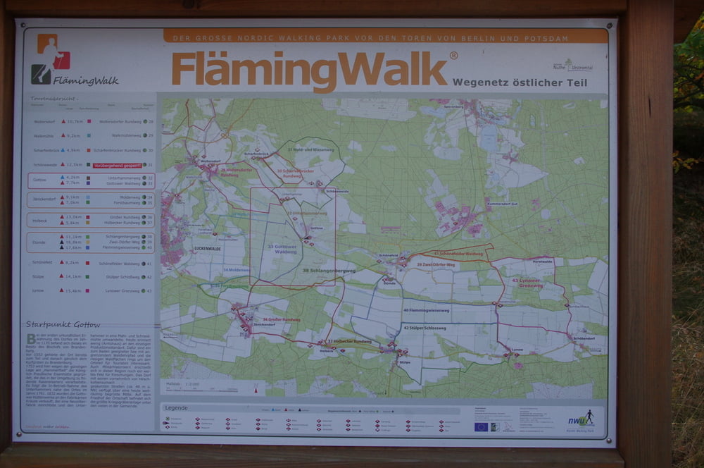
Der Parkplatz bietet nicht nur Anschluss an das Wegenetz des Fläming-Skate, sondern auch an das des Fläming-Walk.
Aus diesem Fundus wollten wir den Unterhammerweg (32) als Schnupperrunde machen.
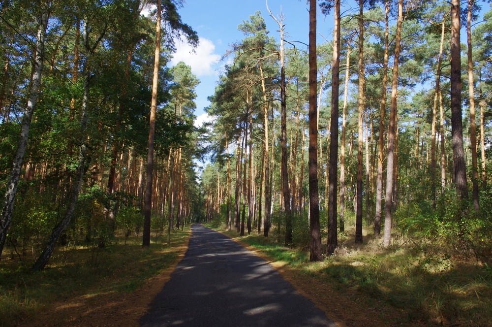
Der weg verläuft zuerst auf einem schmalen Asphaltsträsschen nach Nordwest um dann in Unterhammer anzukommen.
Dort gibt es eine kleine Wirtschaft. Sehr nett um mal einzukehren.
Zurück geht es über die Felder und zum Schluss noch durch den schön hergerichteten Ort Gottow.
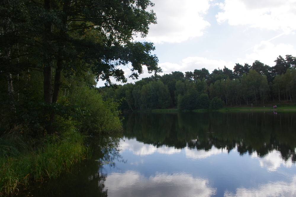
Im aufgestauen See kann man im Sommer schwimmen gehen.
Further information at
http://www.nuthe-urstromtal.de/ortsteile/Gottow/Galerija izletov
Zemljevid in višinski profil izleta
Minimum height 39 m
Maximum height 50 m
More about the tour author
|
|
Pheinz |
Komentarji

Parkplatz am westlichen Ortsrand von Gottow.
Poti GPS
Trackpoints-
GPX / Garmin Map Source (gpx) download
-
TCX / Garmin Training Center® (tcx) download
-
CRS / Garmin Training Center® (crs) download
-
Google Earth (kml) download
-
G7ToWin (g7t) download
-
TTQV (trk) download
-
Overlay (ovl) download
-
Fugawi (txt) download
-
Kompass (DAV) Track (tk) download
-
List z izleti (pdf) download
-
Original file of the author (gpx) download
More about the tour author
|
|
Pheinz |
Add to my favorites
Remove from my favorites
Edit tags
Open track
My score
Rate