Login

Si pozabil/a podatke za prijavo?

Cookies have to be accepted!
Your browser's cookie functionality is disabled. Please enable this functionality.

Not a member yet?

Register now
Login

Available for registred users only

Log in to use this feature.

Si pozabil/a podatke za prijavo?

Cookies have to be accepted!
Your browser's cookie functionality is disabled. Please enable this functionality.

Not a member yet?

Register now
Filter
Kategorije
Advanced filters
  • Dolžina (km)
  • Metri nadmorske višine
Shrani filter Reset filter

TrackRank

QRCode

Technical data

Dolžina153,4 km Metri nadmorske višine951 m Way down946 m Trajanje08:22 h:m Datum12.08.2012
Ocene Author Pokrajina Dejavnik zabave Kondicija Tehnika

Statistika

1142 Pogledi Ocene 42 Prenosi Povprečje
Rate
  • List z izleti
  • Prihod
  • Prenosi
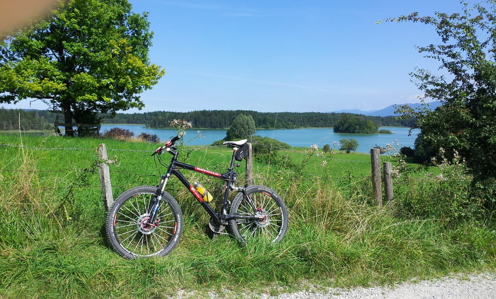
Von Taufkirchen über die Kugler Alm, durch das Isartal und den Forstenrieder Park nach Gauting. Von dort durch das Würmtal zum Maisingersee. Um den See herum und durch die Maisinger Schlucht nach Starnberg. Am Südenufer des Starnberger Sees zu den Osterseen abzweigen. Diese umrunden um dann die Runde um den Starnberger See fortzusetzen. Rückfahrt durch das Würmtal, durch den Forstenrieder Park nach Schäftlarn, dann durch das Mühltal nach Straßlach und schließlich durch den Deisenhofer Forst nach Taufkirchen.

Galerija izletov

Zemljevid in višinski profil izleta

  • Open Street Map
  • Google
Minimum height 541 m Maximum height 692 m Prikaz podrobnosti

More about the tour author

Anonymous user

Komentarji

Poti GPS

Trackpoints
  • GPX / Garmin Map Source (gpx) download
  • TCX / Garmin Training Center® (tcx) download
  • CRS / Garmin Training Center® (crs) download
  • Google Earth (kml) download
  • G7ToWin (g7t) download
  • TTQV (trk) download
  • Overlay (ovl) download
  • Fugawi (txt) download
  • Kompass (DAV) Track (tk) download
  • List z izleti (pdf) download
  • Original file of the author (gpx) download

More about the tour author

Anonymous user

Share track
Add to my favorites
Remove from my favorites
Edit tags
My score
Rate
Izlet: Zum Maisinger See und durch die Maisinger Schlucht um den Starnberger See und den Osterseen
Vrsta: Gorsko kolo
Dolžina: 153,4 km
Evaluated on:
Trajanje:
Day(s)
Hour(s)
Minute(s)
Ocena: Pokrajina Dejavnik zabave Kondicija Tehnika