


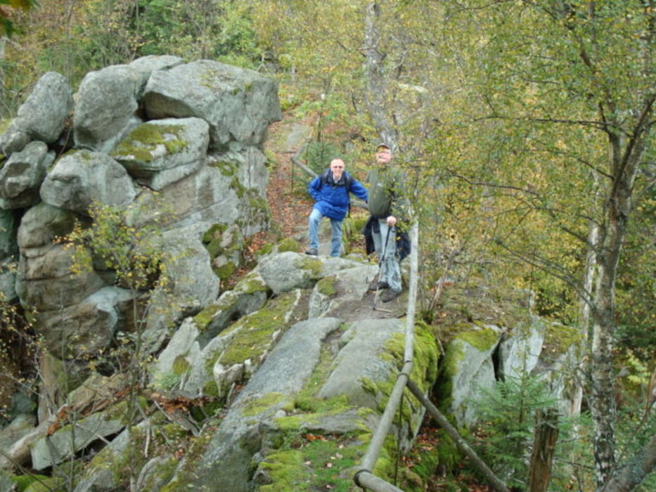
Am Handwerksmuseum Hilstett kann man das Auto bequem parken und geht auf der alten Bahnstrecke Richtung Rötz. Die erste Brücke über die Schwarzach überqueren und links an der Schwarzach entlang dann rechts bergaufwärts Richtung Schellhof. Man quert die Bundesstraße Neunburg-Rötz und geht die Forststraße bergauf bis zum "Am Sattel". Von da an steigt man zum Schwarzwihrberg über die Seewand zum Schwarzwihrberg auf. Am Gipfel befindet sich eine Burgruine mit Turm und ein kleines Wirtshaus, das am Sonntag geöffnet hat. Ca. 50m unterhalb der Burg links beginnt der Abstieg zum Bauhof und weiter über die alte Handelsstraße von Nürnberg nach Rötz wieder über die Bundesstraße in Richtung Schwarzach. Entlang der Schwarzach erreichen wir wieder die Brücke und kommen an unseren Ausgangspunkt, das Museum in Hilstett, zurück.
Galerija izletov
Zemljevid in višinski profil izleta
Minimum height 434 m
Maximum height 690 m
More about the tour author
|
|
BI60CJ5 |
Komentarji

Von Neunburg aus über Seebarn nach Hilstett, oder von Rötz aus.
Poti GPS
Trackpoints-
GPX / Garmin Map Source (gpx) download
-
TCX / Garmin Training Center® (tcx) download
-
CRS / Garmin Training Center® (crs) download
-
Google Earth (kml) download
-
G7ToWin (g7t) download
-
TTQV (trk) download
-
Overlay (ovl) download
-
Fugawi (txt) download
-
Kompass (DAV) Track (tk) download
-
List z izleti (pdf) download
-
Original file of the author (gpx) download
More about the tour author
|
|
BI60CJ5 |
Add to my favorites
Remove from my favorites
Edit tags
Open track
My score
Rate