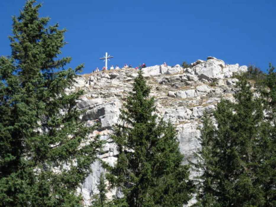
Vom Massentouristenplatz zur Fasteinsamkeit. Vom Wanderparkplatz geht es gleich zügig auf den Berg, Anfangs noch auf breiter Schotterstraße. Nach ca. einer Stunde zweigt unser Pfad rechts ab und geht nun meist auf der Höhe mal auf und ab. Teilweise doch recht ausgesetzt erreichen wir den kleinen Gipfel des Hennekopfes. Es ist zwar sonnig aber doch recht zugig und ungemütlich. Ein Blick zum Schloß Linderhof zeigt den idealen Rastplatz. Unterhalb des Gipfel gibt es eine Wiese die zum Schlafen in Ruhe einlädt. Danach führt uns der Pfad zu den Pürschlingshäuser, der ist aber dann schon etwas mehr ausgesetzt und man sollte trittsicher sein. Hier trifft man auf das pulsierende Leben, die Tagesgäste belegen das Gasthaus zu 200%. Also schnell weiter zurück zum Schloß. Auf ausgesetzten Pfad durch den Wald geht es stetig nach unten bis wir den Parkplatz erreichen.
Galerija izletov
Zemljevid in višinski profil izleta
Komentarji

Am Schloß gibt es einen großen gebührenpflichtigen Parkplatz (4.- pro Tag). Hier fährt man dem Wegweiser nach zu den Wanderparkplätzen direkt am Wegbeginn.
Poti GPS
Trackpoints-
GPX / Garmin Map Source (gpx) download
-
TCX / Garmin Training Center® (tcx) download
-
CRS / Garmin Training Center® (crs) download
-
Google Earth (kml) download
-
G7ToWin (g7t) download
-
TTQV (trk) download
-
Overlay (ovl) download
-
Fugawi (txt) download
-
Kompass (DAV) Track (tk) download
-
List z izleti (pdf) download
-
Original file of the author (gpx) download


