Login

Si pozabil/a podatke za prijavo?

Cookies have to be accepted!
Your browser's cookie functionality is disabled. Please enable this functionality.

Not a member yet?

Register now
Login

Available for registred users only

Log in to use this feature.

Si pozabil/a podatke za prijavo?

Cookies have to be accepted!
Your browser's cookie functionality is disabled. Please enable this functionality.

Not a member yet?

Register now
Filter
Kategorije
Advanced filters
  • Dolžina (km)
  • Metri nadmorske višine
Shrani filter Reset filter

TrackRank

QRCode

Technical data

Dolžina29,9 km Metri nadmorske višine338 m Way down351 m Trajanje02:00 h:m Datum01.11.2012
Ocene Author Pokrajina Dejavnik zabave Kondicija Tehnika

Statistika

374 Pogledi Ocene 19 Prenosi Povprečje
Rate
  • List z izleti
  • Prihod
  • Prenosi

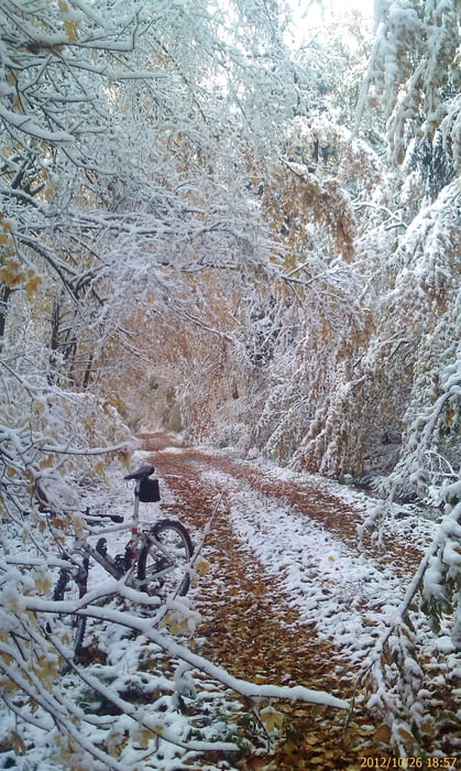
Von Zeil am Main das Trimm Dich- Pfad hoch. an Bischofsheim vorbei, durch Dörflis, hoch zum Rennweg. Den in südöstlicher Richtung fahren bis Schönbrunn. Da runter in das Ebelsbachtal und im Maintal über dem Postweg zurück. Das Terrain sind vorwiegend Wald- Schotter- und Flurbereinigungswege


Galerija izletov

Zemljevid in višinski profil izleta

  • Open Street Map
  • Google
Minimum height 220 m Maximum height 404 m Prikaz podrobnosti

More about the tour author

Astro
Member since 2009

Send private message

Komentarji

Zeil am Main liegt ca. in der Mitte von Schweinfurt und Bamberg


Poti GPS

Trackpoints
  • GPX / Garmin Map Source (gpx) download
  • TCX / Garmin Training Center® (tcx) download
  • CRS / Garmin Training Center® (crs) download
  • Google Earth (kml) download
  • G7ToWin (g7t) download
  • TTQV (trk) download
  • Overlay (ovl) download
  • Fugawi (txt) download
  • Kompass (DAV) Track (tk) download
  • List z izleti (pdf) download
  • Original file of the author (gpx) download

More about the tour author

Astro
Member since 2009

Send private message
Share track
Add to my favorites
Remove from my favorites
Edit tags
My score
Rate
Izlet: Von Zeil am Main in die Hassberge auf dem Rennweg ins Maintal zurück
Vrsta: Gorsko kolo
Dolžina: 29,9 km
Evaluated on:
Trajanje:
Day(s)
Hour(s)
Minute(s)
Ocena: Pokrajina Dejavnik zabave Kondicija Tehnika