Login

Si pozabil/a podatke za prijavo?

Cookies have to be accepted!
Your browser's cookie functionality is disabled. Please enable this functionality.

Not a member yet?

Register now
Login

Available for registred users only

Log in to use this feature.

Si pozabil/a podatke za prijavo?

Cookies have to be accepted!
Your browser's cookie functionality is disabled. Please enable this functionality.

Not a member yet?

Register now
Filter
Kategorije
Advanced filters
  • Dolžina (km)
  • Metri nadmorske višine
Shrani filter Reset filter

TrackRank

QRCode

Technical data

Dolžina12,1 km Metri nadmorske višine369 m Way down336 m Trajanje03:00 h:m Datum01.11.2012
Ocene Author User Pokrajina Dejavnik zabave Kondicija Tehnika

Statistika

384 Pogledi 1 Ocena 46 Prenosi 3.00 Povprečje
Rate
  • List z izleti
  • Prihod
  • Prenosi

Die Tour ist der Track 24 aus dem Rother Wanderführer "Bergisches Land".


Galerija izletov

Zemljevid in višinski profil izleta

  • Open Street Map
  • Google
Minimum height 68 m Maximum height 323 m Prikaz podrobnosti

More about the tour author

TobyDean
Member since 2011

Send private message

Komentarji

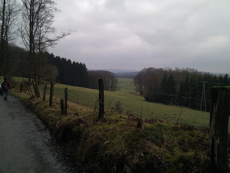
Man kann gut auf dem Parkplatz vor dem Schloss Ehreshoven parken und dann die Strasse zum Start der Tour überqueren.


Poti GPS

Trackpoints
  • GPX / Garmin Map Source (gpx) download
  • TCX / Garmin Training Center® (tcx) download
  • CRS / Garmin Training Center® (crs) download
  • Google Earth (kml) download
  • G7ToWin (g7t) download
  • TTQV (trk) download
  • Overlay (ovl) download
  • Fugawi (txt) download
  • Kompass (DAV) Track (tk) download
  • List z izleti (pdf) download
  • Original file of the author (gpx) download

More about the tour author

TobyDean
Member since 2011

Send private message
Share track
Add to my favorites
Remove from my favorites
Edit tags
My score
Rate
Izlet: Von Schloss Ehreshoven nach Hohkeppel
Vrsta: Pešačenje
Dolžina: 12,1 km
Evaluated on:
Trajanje:
Day(s)
Hour(s)
Minute(s)
Ocena: Pokrajina Dejavnik zabave Kondicija Tehnika