

Die Tour ist die Route 17 aus dem Wanderführer "20 Wanderungen im Kreis Mettmann - der Norden" aus dem Droste Verlag.
Der Weg ist einfach und gut zu gehen. Aufgrund der Länge sollte man aber etwas Kondition haben. Ich würde ihn bei normalem Gehtempo auf ca. 3 Stunden schätzen. Der Weg ist flach und hat eigentlich keine Steigungen.
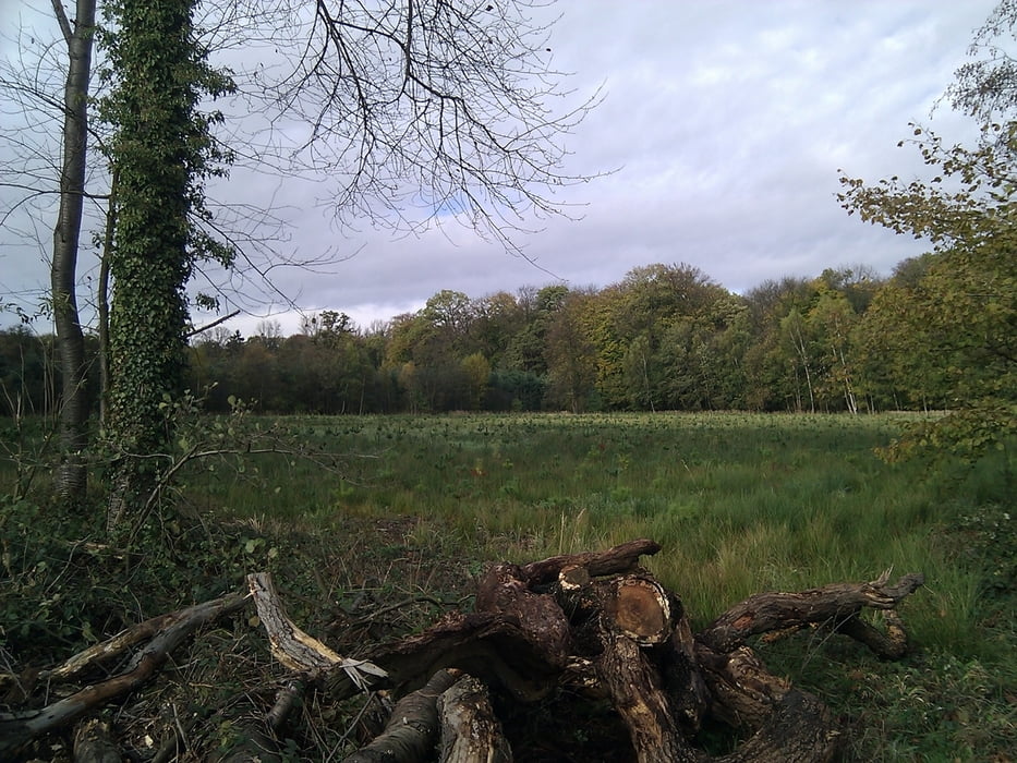
Galerija izletov


Zemljevid in višinski profil izleta
Minimum height -11 m
Maximum height 68 m
More about the tour author

|
TobyDean |
Komentarji

Parken kann man auf dem Wanderparkplatz an der Kalkstrass Kreuzung Kalkumer Strasse. Ich habe einen Parkplatz weiter vorne geparkt, eher aus Versehen, aber wie sich später raus gestellt hat endet dort der Weg :-)
Poti GPS
Trackpoints-
GPX / Garmin Map Source (gpx) download
-
TCX / Garmin Training Center® (tcx) download
-
CRS / Garmin Training Center® (crs) download
-
Google Earth (kml) download
-
G7ToWin (g7t) download
-
TTQV (trk) download
-
Overlay (ovl) download
-
Fugawi (txt) download
-
Kompass (DAV) Track (tk) download
-
List z izleti (pdf) download
-
Original file of the author (gpx) download
More about the tour author
|
|
TobyDean |
Add to my favorites
Remove from my favorites
Edit tags
Open track
My score
Rate