Login

Si pozabil/a podatke za prijavo?

Cookies have to be accepted!
Your browser's cookie functionality is disabled. Please enable this functionality.

Not a member yet?

Register now
Login

Available for registred users only

Log in to use this feature.

Si pozabil/a podatke za prijavo?

Cookies have to be accepted!
Your browser's cookie functionality is disabled. Please enable this functionality.

Not a member yet?

Register now
Filter
Kategorije
Advanced filters
  • Dolžina (km)
  • Metri nadmorske višine
Shrani filter Reset filter

TrackRank

QRCode

Technical data

Dolžina20,5 km Metri nadmorske višine160 m Way down192 m Trajanje04:00 h:m Datum23.11.2012
Ocene Author Pokrajina Dejavnik zabave Kondicija Tehnika

Statistika

926 Pogledi Ocene 35 Prenosi Povprečje
Rate
  • List z izleti
  • Prihod
  • Prenosi
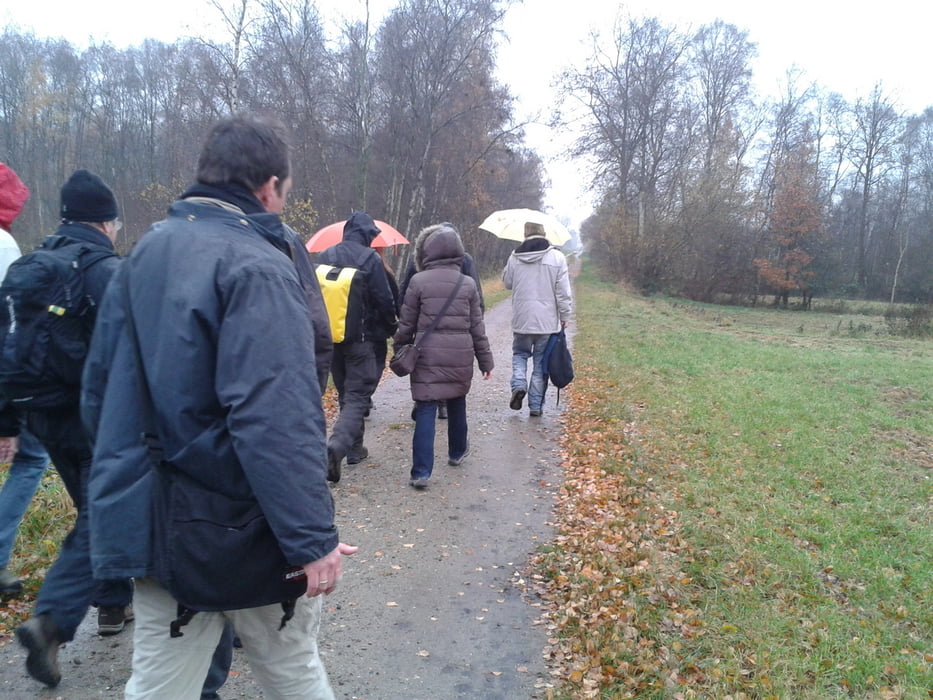
Start: Bahnhof Buxtehude, weiter durch's Alte Land über Ladekop. Leichte Route, 20 Kilometer, ca. 4 Stunden, auch für Anfänger geeignet.

Galerija izletov

Zemljevid in višinski profil izleta

  • Open Street Map
  • Google
Minimum height 16 m Maximum height 74 m Prikaz podrobnosti

More about the tour author

Sternenmaus
Member since 2012

Send private message

Komentarji

Bahn: Mit der S-Bahn vom Hamburger Hauptbahnhof nach Buxtehude oder von Stade kommend die S1 Richtung Hamburg bis Bahnhof Buxtehude. Mit dem Auto: A7, Ausfahrt Heimfeld und B73 Richtung Buxtehude oder A1 Abfahrt Hollenstedt und L141 Richtung Buxtehude.


Poti GPS

Trackpoints
  • GPX / Garmin Map Source (gpx) download
  • TCX / Garmin Training Center® (tcx) download
  • CRS / Garmin Training Center® (crs) download
  • Google Earth (kml) download
  • G7ToWin (g7t) download
  • TTQV (trk) download
  • Overlay (ovl) download
  • Fugawi (txt) download
  • Kompass (DAV) Track (tk) download
  • List z izleti (pdf) download
  • Original file of the author (gpx) download

More about the tour author

Sternenmaus
Member since 2012

Send private message
Share track
Add to my favorites
Remove from my favorites
Edit tags
My score
Rate
Izlet: Tour durchs Alte Land am 18.11.2012
Vrsta: Pešačenje
Dolžina: 20,5 km
Evaluated on:
Trajanje:
Day(s)
Hour(s)
Minute(s)
Ocena: Pokrajina Dejavnik zabave Kondicija Tehnika