Login

Si pozabil/a podatke za prijavo?

Cookies have to be accepted!
Your browser's cookie functionality is disabled. Please enable this functionality.

Not a member yet?

Register now
Login

Available for registred users only

Log in to use this feature.

Si pozabil/a podatke za prijavo?

Cookies have to be accepted!
Your browser's cookie functionality is disabled. Please enable this functionality.

Not a member yet?

Register now
Filter
Kategorije
Advanced filters
  • Dolžina (km)
  • Metri nadmorske višine
Shrani filter Reset filter

TrackRank

QRCode

Technical data

Dolžina31,8 km Metri nadmorske višine91 m Way down101 m Trajanje04:10 h:m Datum22.01.2013
Ocene Author Pokrajina Dejavnik zabave Kondicija Tehnika

Statistika

241 Pogledi Ocene 30 Prenosi Povprečje
Rate
  • List z izleti
  • Prihod
  • Prenosi

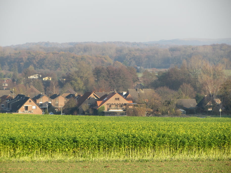
Sehr schöne einfache Tour, sie führt von Rheurdt  (Start Parkplatz Netto ) über Schaephuysen - Saelhuysen - Stenden - Wachtendong - Kerken Eylersee und Kengen wieder nach Rheurdt.


Galerija izletov

Zemljevid in višinski profil izleta

  • Open Street Map
  • Google
Minimum height 23 m Maximum height 53 m Prikaz podrobnosti

More about the tour author

eradfahrer
Member since 2012

Send private message

Komentarji

Poti GPS

Trackpoints
  • GPX / Garmin Map Source (gpx) download
  • TCX / Garmin Training Center® (tcx) download
  • CRS / Garmin Training Center® (crs) download
  • Google Earth (kml) download
  • G7ToWin (g7t) download
  • TTQV (trk) download
  • Overlay (ovl) download
  • Fugawi (txt) download
  • Kompass (DAV) Track (tk) download
  • List z izleti (pdf) download
  • Original file of the author (gpx) download

More about the tour author

eradfahrer
Member since 2012

Send private message
Share track
Add to my favorites
Remove from my favorites
Edit tags
My score
Rate
Izlet: Rund um Rheurdt
Vrsta: Izleti s kolesom
Dolžina: 31,8 km
Evaluated on:
Trajanje:
Day(s)
Hour(s)
Minute(s)
Ocena: Pokrajina Dejavnik zabave Kondicija Tehnika