Login

Si pozabil/a podatke za prijavo?

Cookies have to be accepted!
Your browser's cookie functionality is disabled. Please enable this functionality.

Not a member yet?

Register now
Login

Available for registred users only

Log in to use this feature.

Si pozabil/a podatke za prijavo?

Cookies have to be accepted!
Your browser's cookie functionality is disabled. Please enable this functionality.

Not a member yet?

Register now
Filter
Kategorije
Advanced filters
  • Dolžina (km)
  • Metri nadmorske višine
Shrani filter Reset filter

TrackRank

QRCode

Technical data

Dolžina40,1 km Metri nadmorske višine1707 m Way down1951 m Trajanje04:00 h:m Datum19.02.2013
Ocene Author Pokrajina Dejavnik zabave Kondicija Tehnika

Statistika

834 Pogledi Ocene 77 Prenosi Povprečje
Rate
  • List z izleti
  • Prihod
  • Prenosi

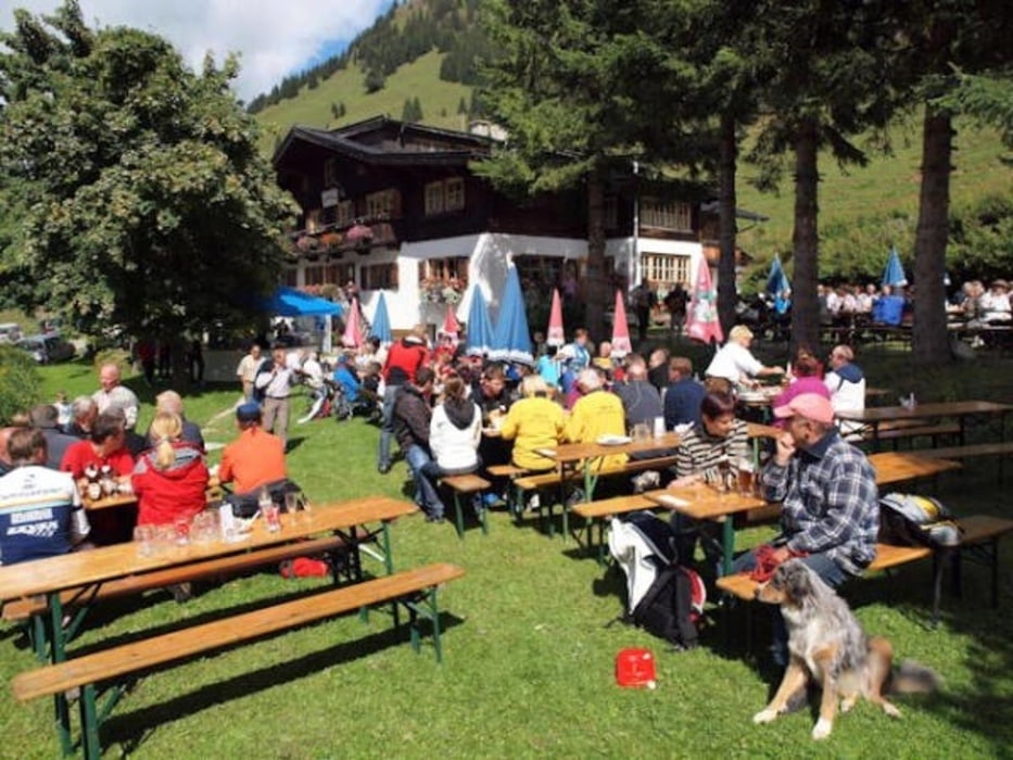
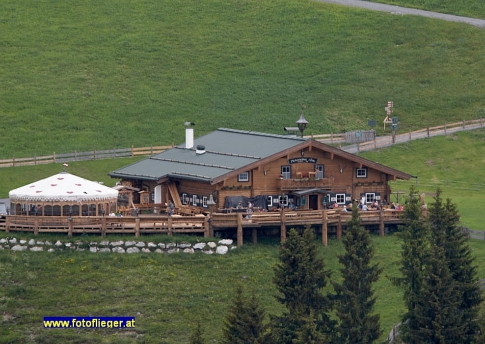
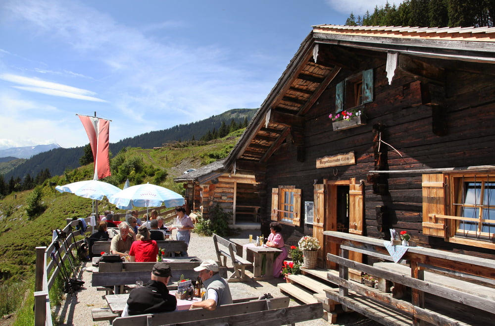
Von Hochfilzen zum Gasthof Eiserne Hand, weiter zur Burger Alm, Panorama Alm, Jahnhütte, Örgenbauern Alm, Berggasthof Biberg. Abfahrt ins Tal nach Saalfelden.


Galerija izletov

Zemljevid in višinski profil izleta

  • Open Street Map
  • Google
Minimum height 722 m Maximum height 1783 m Prikaz podrobnosti

More about the tour author

Persei10
Member since 2013

Send private message

Komentarji

Mit Auto oder Bahn nach Hochfilzen.


Poti GPS

Trackpoints
  • GPX / Garmin Map Source (gpx) download
  • TCX / Garmin Training Center® (tcx) download
  • CRS / Garmin Training Center® (crs) download
  • Google Earth (kml) download
  • G7ToWin (g7t) download
  • TTQV (trk) download
  • Overlay (ovl) download
  • Fugawi (txt) download
  • Kompass (DAV) Track (tk) download
  • List z izleti (pdf) download
  • Original file of the author (tcx) download

More about the tour author

Persei10
Member since 2013

Send private message
Share track
Add to my favorites
Remove from my favorites
Edit tags
My score
Rate
Izlet: Hochfilzen-Panorama Alm-Jahnhütte-Saalfelden
Vrsta: Gorsko kolo
Dolžina: 40,1 km
Evaluated on:
Trajanje:
Day(s)
Hour(s)
Minute(s)
Ocena: Pokrajina Dejavnik zabave Kondicija Tehnika