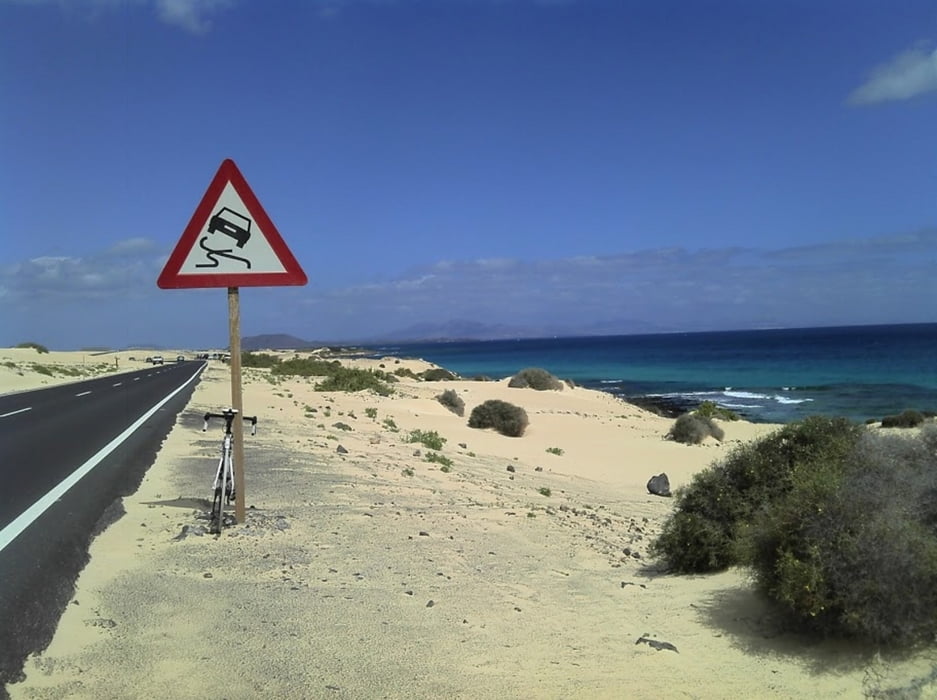
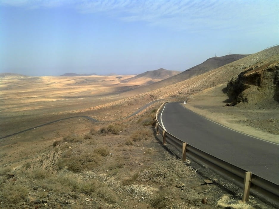
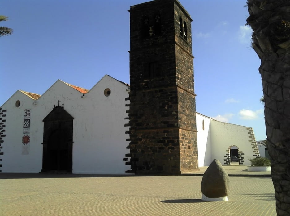
Tour an die Nordspitze der Insel, nach Corralejo. Anfahrt kraftsparend auf flachen Strecken. Ab Puerto de Rosario ist mit stärkerem Verkehr zu rechnen. Das letzte Streckenstück vor Coralejo mit weißen Sand rechts und links der Fahrbahn entschädigt aber dafür. Zurück mit Rückenwind über Valbron und Antigua.
Galerija izletov
Zemljevid in višinski profil izleta
Minimum height -5 m
Maximum height 353 m
Komentarji

Poti GPS
Trackpoints-
GPX / Garmin Map Source (gpx) download
-
TCX / Garmin Training Center® (tcx) download
-
CRS / Garmin Training Center® (crs) download
-
Google Earth (kml) download
-
G7ToWin (g7t) download
-
TTQV (trk) download
-
Overlay (ovl) download
-
Fugawi (txt) download
-
Kompass (DAV) Track (tk) download
-
List z izleti (pdf) download
-
Original file of the author (gpx) download
Add to my favorites
Remove from my favorites
Edit tags
Open track
My score
Rate


