

The Best option for those who like freerideing or all-mountain biking. I recomend bike with at least 140mm fork. After short downhill from Mte. Baldo just go up direction Rifugio Damiano Chiesa. Enjoy the beautifull view from Mte. Altissimo. After that retract your helmet and have fun by riding on the famous 601 Enduro- trail to Torbole. Take care by crossing an asphalt road. My GPS track goes on Asphalt because of the braking problem.
enjoy :)
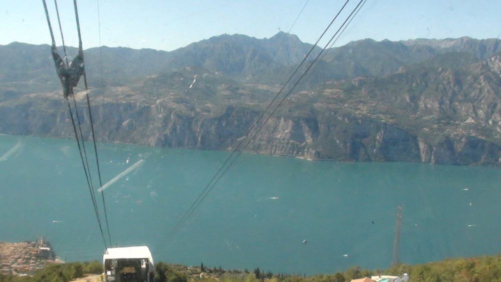
Galerija izletov


Zemljevid in višinski profil izleta
Minimum height 68 m
Maximum height 2061 m
More about the tour author

|
svejk |
Komentarji

Poti GPS
Trackpoints-
GPX / Garmin Map Source (gpx) download
-
TCX / Garmin Training Center® (tcx) download
-
CRS / Garmin Training Center® (crs) download
-
Google Earth (kml) download
-
G7ToWin (g7t) download
-
TTQV (trk) download
-
Overlay (ovl) download
-
Fugawi (txt) download
-
Kompass (DAV) Track (tk) download
-
List z izleti (pdf) download
-
Original file of the author (gpx) download
More about the tour author
|
|
svejk |
Add to my favorites
Remove from my favorites
Edit tags
Open track
My score
Rate