Login

Si pozabil/a podatke za prijavo?

Cookies have to be accepted!
Your browser's cookie functionality is disabled. Please enable this functionality.

Not a member yet?

Register now
Login

Available for registred users only

Log in to use this feature.

Si pozabil/a podatke za prijavo?

Cookies have to be accepted!
Your browser's cookie functionality is disabled. Please enable this functionality.

Not a member yet?

Register now
Filter
Kategorije
Advanced filters
  • Dolžina (km)
  • Metri nadmorske višine
Shrani filter Reset filter

TrackRank

QRCode

Technical data

Dolžina40,6 km Metri nadmorske višine51 m Way down63 m Trajanje03:00 h:m Datum25.03.2013
Ocene Author Pokrajina Dejavnik zabave Kondicija Tehnika

Statistika

314 Pogledi Ocene 36 Prenosi Povprečje
Rate
  • List z izleti
  • Prihod
  • Prenosi

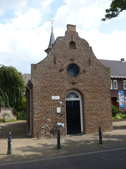
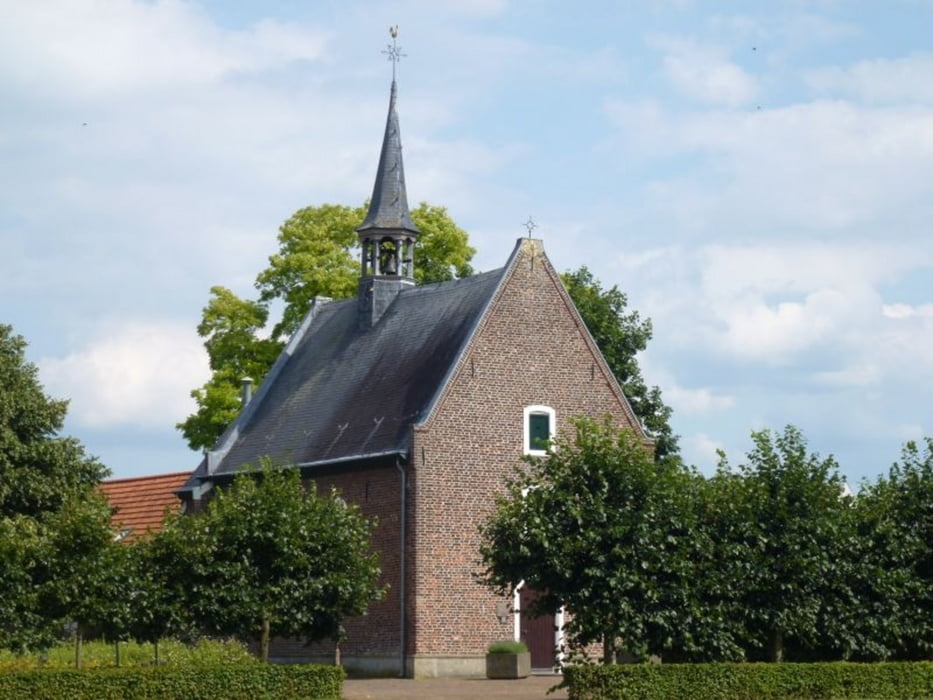
Mooie fietstocht in het grensgebied van Noord-Limburg en Oostelijk Noord-Brabant waar in de tweede wereldoorlog erg hard is gevochten.

U start op de parkeerplaats van het ziekenhuis VieCuri, Merseloseweg, Venray.


Galerija izletov

Zemljevid in višinski profil izleta

  • Open Street Map
  • Google
Minimum height 12 m Maximum height 34 m Prikaz podrobnosti

More about the tour author

boskwa12
Member since 2008

Send private message

Komentarji

Poti GPS

Trackpoints
  • GPX / Garmin Map Source (gpx) download
  • TCX / Garmin Training Center® (tcx) download
  • CRS / Garmin Training Center® (crs) download
  • Google Earth (kml) download
  • G7ToWin (g7t) download
  • TTQV (trk) download
  • Overlay (ovl) download
  • Fugawi (txt) download
  • Kompass (DAV) Track (tk) download
  • List z izleti (pdf) download
  • Original file of the author (gpx) download

More about the tour author

boskwa12
Member since 2008

Send private message
Share track
Add to my favorites
Remove from my favorites
Edit tags
My score
Rate
Izlet: Fietsrondje Venray
Vrsta: Izleti s kolesom
Dolžina: 40,6 km
Evaluated on:
Trajanje:
Day(s)
Hour(s)
Minute(s)
Ocena: Pokrajina Dejavnik zabave Kondicija Tehnika