

Eine tolle Tour des Wanderführers "20 Wanderungen im Kreis Mettmann - Der Norden".
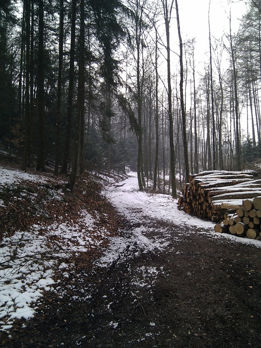
Die Landschaft ist sehr schön und wechselt zwischen Höhenzügen über den Feldern und Laub- oder Nadelwälder. Ich empfehle festes Schuhwerk anzuziehen, da einige Stellen doch recht matschig sind und man beim Auf- oder Abstieg schon mal ein bisschen fester stehen muss.
Galerija izletov


Zemljevid in višinski profil izleta
Minimum height 122 m
Maximum height 290 m
More about the tour author

|
TobyDean |
Komentarji

Von Essen-Kupferdreh kommend ist es der zweite Parkplatz nach der Elfringhauser Strasse, die zur Rechten einmündet. Man muss allerdings noch ein Stückchen weiter fahren bis der Parkplatz auf der rechten Seite erscheint.
Poti GPS
Trackpoints-
GPX / Garmin Map Source (gpx) download
-
TCX / Garmin Training Center® (tcx) download
-
CRS / Garmin Training Center® (crs) download
-
Google Earth (kml) download
-
G7ToWin (g7t) download
-
TTQV (trk) download
-
Overlay (ovl) download
-
Fugawi (txt) download
-
Kompass (DAV) Track (tk) download
-
List z izleti (pdf) download
-
Original file of the author (gpx) download
More about the tour author
|
|
TobyDean |
Add to my favorites
Remove from my favorites
Edit tags
Open track
My score
Rate