Login

Si pozabil/a podatke za prijavo?

Cookies have to be accepted!
Your browser's cookie functionality is disabled. Please enable this functionality.

Not a member yet?

Register now
Login

Available for registred users only

Log in to use this feature.

Si pozabil/a podatke za prijavo?

Cookies have to be accepted!
Your browser's cookie functionality is disabled. Please enable this functionality.

Not a member yet?

Register now
Filter
Kategorije
Advanced filters
  • Dolžina (km)
  • Metri nadmorske višine
Shrani filter Reset filter

TrackRank

QRCode

Technical data

Dolžina6,8 km Metri nadmorske višine146 m Way down140 m Trajanje01:20 h:m Datum01.04.2013
Ocene Author Pokrajina Dejavnik zabave Kondicija Tehnika

Statistika

579 Pogledi Ocene 66 Prenosi Povprečje
Rate
  • List z izleti
  • Prihod
  • Prenosi
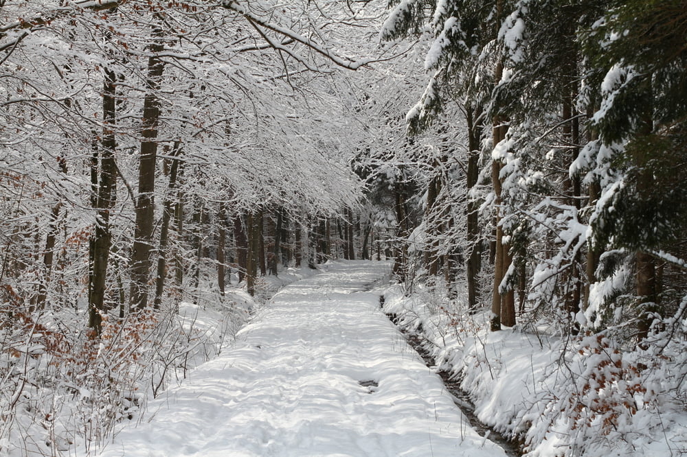
Die Tour startet an einem Parkplatz in Tutzing. Nach einem kurzen Anstieg geht es durch einen lichten Wald in Richtung Ilkahöhe. Da es in der Nacht zum 1. April geschneit hat, erfreut uns der helle Schnee auf den dunklen Ästen. Die folgende Anhöhe erlaubt uns einen Blick hinunter zum Starnberger See. An schönen Tagen sind sogar die Aplen zu sehen. Der Rückweg führt uns durch eine Allee und wenig befahrene Strassen zurück nach Tutzing.

Galerija izletov

Zemljevid in višinski profil izleta

  • Open Street Map
  • Google
Minimum height 625 m Maximum height 750 m Prikaz podrobnosti

More about the tour author

mtbmah2
Member since 2012

Send private message

Komentarji

Poti GPS

Trackpoints
  • GPX / Garmin Map Source (gpx) download
  • TCX / Garmin Training Center® (tcx) download
  • CRS / Garmin Training Center® (crs) download
  • Google Earth (kml) download
  • G7ToWin (g7t) download
  • TTQV (trk) download
  • Overlay (ovl) download
  • Fugawi (txt) download
  • Kompass (DAV) Track (tk) download
  • List z izleti (pdf) download
  • Original file of the author (tcx) download

More about the tour author

mtbmah2
Member since 2012

Send private message
Share track
Add to my favorites
Remove from my favorites
Edit tags
My score
Rate
Izlet: Von Tutzig zur Ilkahöhe
Vrsta: Pešačenje
Dolžina: 6,8 km
Evaluated on:
Trajanje:
Day(s)
Hour(s)
Minute(s)
Ocena: Pokrajina Dejavnik zabave Kondicija Tehnika