


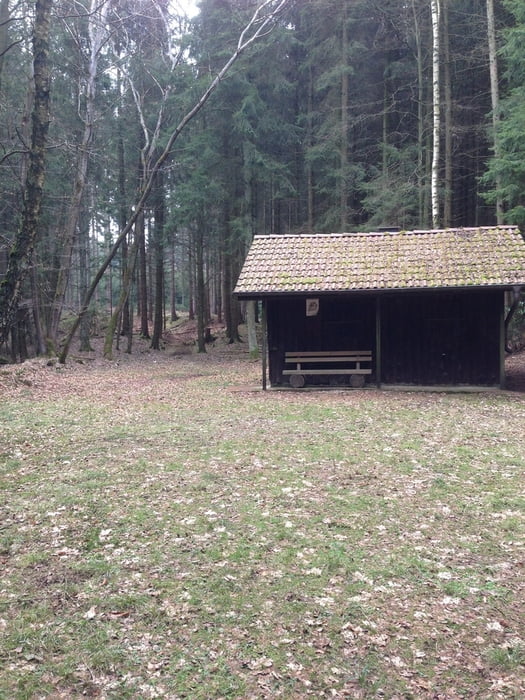
Vom Parkplatz auf stoßen wir direkt auf den sogenannten Rennweg, welcher als gut befestigter Schotterweg durch den Wald führt. Ein Teil dieses Weges ist Bestandteil des "Klangwaldes" und es gibt verschiedene Installationen, die genutzt werden können.
Von dort aus biegen wir links auf den Wanderweg X9 ab, dies ist ein unbefestigter Natur-Wald-Pfad und daher teilweise recht matschig. Festes Schuhwerk ist in jedem Fall ratsam.
Dieser Weg führt zum See hinunter und wir laufen links herum am Südüfer entlang, vorbei am Minigolfplatz und biegen dann in den Wanderweg A7 ein, der direkt zurück zum Parkplatz des Torhauses verläuft.
Further information at
http://moehnesee.de/touristikcms/index.php?pcid=23&pdid=100Galerija izletov


Zemljevid in višinski profil izleta
Minimum height 218 m
Maximum height 296 m
More about the tour author

|
columbos-frauli |
Komentarji

Wir parken am Wandererparkplatz am Torhaus in Delecke am Möhnesee (Arnsberger Str. 4, 59519 Möhnesee-Delecke).
Poti GPS
Trackpoints-
GPX / Garmin Map Source (gpx) download
-
TCX / Garmin Training Center® (tcx) download
-
CRS / Garmin Training Center® (crs) download
-
Google Earth (kml) download
-
G7ToWin (g7t) download
-
TTQV (trk) download
-
Overlay (ovl) download
-
Fugawi (txt) download
-
Kompass (DAV) Track (tk) download
-
List z izleti (pdf) download
-
Original file of the author (gpx) download
More about the tour author
|
|
columbos-frauli |
Add to my favorites
Remove from my favorites
Edit tags
Open track
My score
Rate