Login

Si pozabil/a podatke za prijavo?

Cookies have to be accepted!
Your browser's cookie functionality is disabled. Please enable this functionality.

Not a member yet?

Register now
Login

Available for registred users only

Log in to use this feature.

Si pozabil/a podatke za prijavo?

Cookies have to be accepted!
Your browser's cookie functionality is disabled. Please enable this functionality.

Not a member yet?

Register now
Filter
Kategorije
Advanced filters
  • Dolžina (km)
  • Metri nadmorske višine
Shrani filter Reset filter

TrackRank

QRCode

Technical data

Dolžina95,0 km Metri nadmorske višine109 m Way down114 m Trajanje00:00 h:m Datum11.04.2013
Ocene Author Pokrajina Dejavnik zabave Kondicija Tehnika

Statistika

1041 Pogledi Ocene 37 Prenosi Povprečje
Rate
  • List z izleti
  • Prihod
  • Prenosi
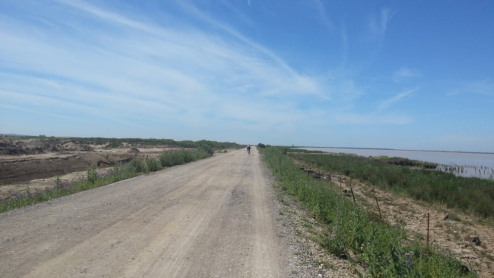
Ruta que sigue el curso del río Guadalquibir desde Sevilla por la llamada "carretera del Práctico" y que empieza en Sevilla para terminar en Sanlucar de Barrameda, Cádiz. Ruta asequible a todo el mundo.

Galerija izletov

Zemljevid in višinski profil izleta

  • Open Street Map
  • Google
Minimum height 3 m Maximum height 15 m Prikaz podrobnosti

More about the tour author

juliobtt
Member since 2013

Send private message

Komentarji

Poti GPS

Trackpoints
  • GPX / Garmin Map Source (gpx) download
  • TCX / Garmin Training Center® (tcx) download
  • CRS / Garmin Training Center® (crs) download
  • Google Earth (kml) download
  • G7ToWin (g7t) download
  • TTQV (trk) download
  • Overlay (ovl) download
  • Fugawi (txt) download
  • Kompass (DAV) Track (tk) download
  • List z izleti (pdf) download
  • Original file of the author (gpx) download

More about the tour author

juliobtt
Member since 2013

Send private message
Share track
Add to my favorites
Remove from my favorites
Edit tags
My score
Rate
Izlet: Descenso del Guadalquivir
Vrsta: Izleti s kolesom
Dolžina: 95,0 km
Evaluated on:
Trajanje:
Day(s)
Hour(s)
Minute(s)
Ocena: Pokrajina Dejavnik zabave Kondicija Tehnika