


Kleine Feierabendrunde am südlichen Stadtrand von Berlin.
Zuerst ziemlich nach Süden.
Haynauer Straße, Belsstraße, am S-Bahnhof Marienfelde vorbei und weiter die Bahnstraße entlang.
Von der Albanstraße in die Säntisstraße und die Kreuzung am Nahmitzer Damm queren. Hier in die Grünfläche hinein und weiter in Richtung Freizeitpark Marienfelde.
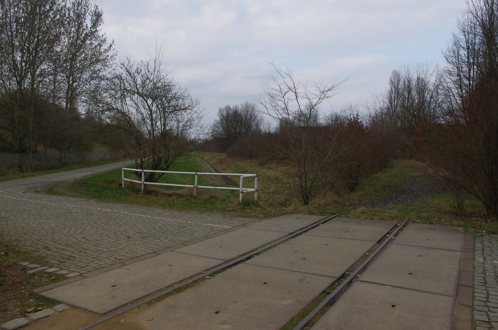
Auf dem querenden Radweg nach Osten und an den Kleingärten wieder nach Süden auf die Barnetstraße. Auf dem Kirchhainer Damm zur Stadtgrenze und dann unter der B96 hindurch aun auf dem Mauerstreifen bis zur L75.
Hier bog ich nach Norden ab und fuhr den Buckower Damm hoch um dann die Mohriner Allee als Rückweg zu nutzen.
Further information at
https://de.wikipedia.org/wiki/BerlinGalerija izletov
Zemljevid in višinski profil izleta
Minimum height 45 m
Maximum height 70 m
More about the tour author
|
|
Pheinz |
Komentarji

Einstieg an beliebiger Stelle.
Poti GPS
Trackpoints-
GPX / Garmin Map Source (gpx) download
-
TCX / Garmin Training Center® (tcx) download
-
CRS / Garmin Training Center® (crs) download
-
Google Earth (kml) download
-
G7ToWin (g7t) download
-
TTQV (trk) download
-
Overlay (ovl) download
-
Fugawi (txt) download
-
Kompass (DAV) Track (tk) download
-
List z izleti (pdf) download
-
Original file of the author (gpx) download
More about the tour author
|
|
Pheinz |
Add to my favorites
Remove from my favorites
Edit tags
Open track
My score
Rate