


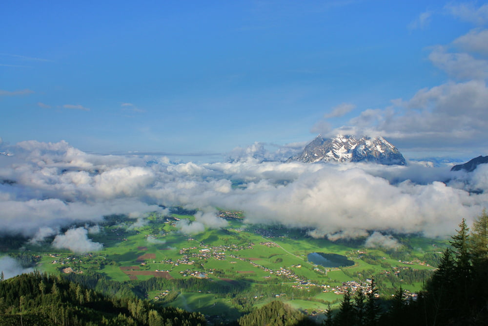
Der Hohe Trett 1.681m ist ein Berg östlich von Aigen im Ennstal. Da sich der Ausgangspunkt in Ritzmannsdorf auf 800m befindet erwandert man sich auf dieser Tour, die durchgehend als Tour Nr.9 gekennzeichnet ist, gleich einmal ca. 1.000 Höhenmeter. Wer nicht so viel Zeit hat kann auch von Ritzmannsdorf noch 1,7 km weiter in Richtung Oppenberg fahren und dort der BBeschilderung zur "Stalingradkapelle" folgen. Die schmale Bergstraße führt 2,2 km weit hinauf zum Mösslhof. 200m nach dem Mösslhof erreichst du den Wanderweg auf die Hohe Trett. Der bewaldete Gipfel ist nicht nur bei Wanderern im Frühling ab Ende April Anfang Mai, sondern auch im Winter für Schneeschuhwanderer und Skitourengeher ein sehr lohnendes Ziel.
Galerija izletov

Zemljevid in višinski profil izleta
Minimum height 748 m
Maximum height 1674 m
More about the tour author
|
|
Trek1400d |
Komentarji

Von Aigen im Ennstal auf der L741 in Richtung Wörschach. In Ketten nach rechts auf die L742 in Richtung Liezen abbiegen. Und dann gleich nach 400m wieder nach rechts in Richtung Tachenberg und Ritzmannsdorf hinauf.
Poti GPS
Trackpoints-
GPX / Garmin Map Source (gpx) download
-
TCX / Garmin Training Center® (tcx) download
-
CRS / Garmin Training Center® (crs) download
-
Google Earth (kml) download
-
G7ToWin (g7t) download
-
TTQV (trk) download
-
Overlay (ovl) download
-
Fugawi (txt) download
-
Kompass (DAV) Track (tk) download
-
List z izleti (pdf) download
-
Original file of the author (gpx) download
More about the tour author
|
|
Trek1400d |
Add to my favorites
Remove from my favorites
Edit tags
Open track
My score
Rate