Login

Si pozabil/a podatke za prijavo?

Cookies have to be accepted!
Your browser's cookie functionality is disabled. Please enable this functionality.

Not a member yet?

Register now
Login

Available for registred users only

Log in to use this feature.

Si pozabil/a podatke za prijavo?

Cookies have to be accepted!
Your browser's cookie functionality is disabled. Please enable this functionality.

Not a member yet?

Register now
Filter
Kategorije
Advanced filters
  • Dolžina (km)
  • Metri nadmorske višine
Shrani filter Reset filter

TrackRank

QRCode

Technical data

Dolžina19,5 km Metri nadmorske višine358 m Way down411 m Trajanje00:00 h:m Datum14.05.2013
Ocene Author Pokrajina Dejavnik zabave Kondicija Tehnika

Statistika

266 Pogledi Ocene 22 Prenosi Povprečje
Rate
  • List z izleti
  • Prihod
  • Prenosi

Achtung Warnung

GPS-Gerät und Karte mit Kompass erforderlich. Wobei die Karte bei Sturm und Nebel nur bedingt einsatzfähig ist.

Wasserdichte Kleidung (getestet) Sturmfestes Zelt, Warme unterkleidung, Handschuhe und Stöcke.
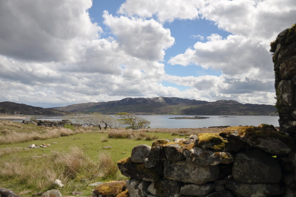
 

Galerija izletov

Zemljevid in višinski profil izleta

  • Open Street Map
  • Google
Minimum height -3 m Maximum height 166 m Prikaz podrobnosti

More about the tour author

chorn63
Member since 2009

Send private message

Komentarji

Poti GPS

Trackpoints
  • GPX / Garmin Map Source (gpx) download
  • TCX / Garmin Training Center® (tcx) download
  • CRS / Garmin Training Center® (crs) download
  • Google Earth (kml) download
  • G7ToWin (g7t) download
  • TTQV (trk) download
  • Overlay (ovl) download
  • Fugawi (txt) download
  • Kompass (DAV) Track (tk) download
  • List z izleti (pdf) download
  • Original file of the author (gpx) download

More about the tour author

chorn63
Member since 2009

Send private message
Share track
Add to my favorites
Remove from my favorites
Edit tags
My score
Rate
Izlet: Insel_Sky_7
Vrsta: Izlet v gore
Dolžina: 19,5 km
Evaluated on:
Trajanje:
Day(s)
Hour(s)
Minute(s)
Ocena: Pokrajina Dejavnik zabave Kondicija Tehnika