


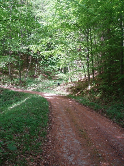
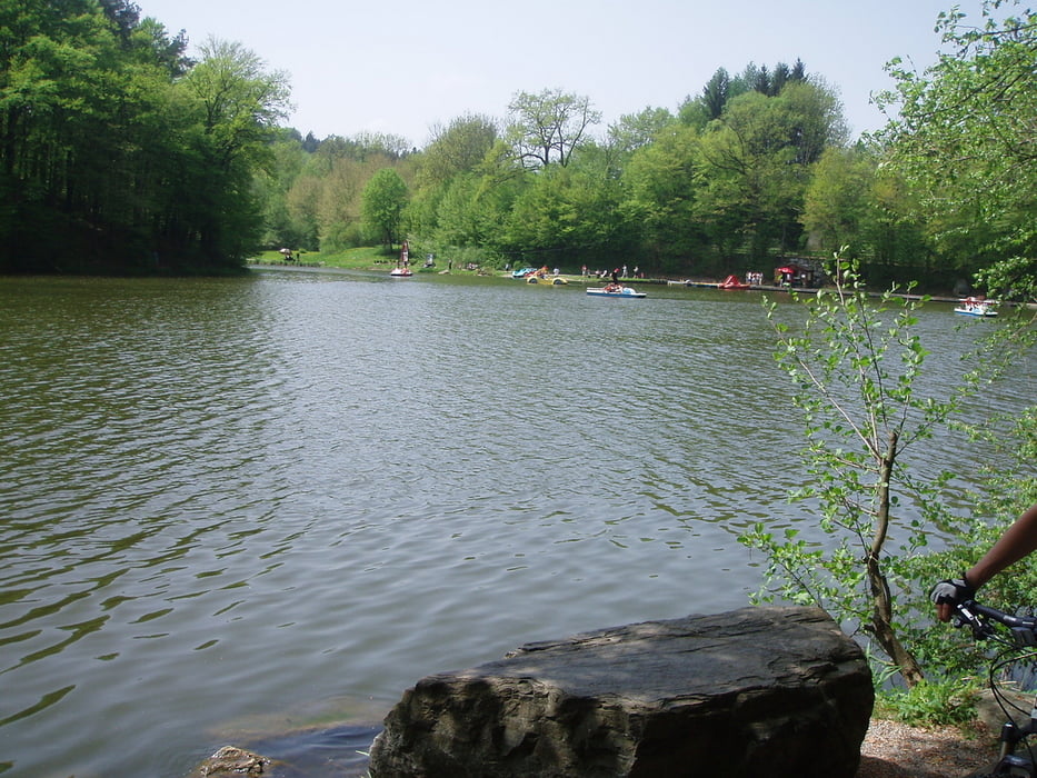
Die Tour war sehr schön und ausgewogen. Es ist alles dabei von harten bis gemütlichen Anstiegen, schöne Waldabschnitte, schwierige und leichte Abfahrten.
Wenn man Zeit hat und nicht immer die gleichen Wege und Routen um Graz fahren will, ist diese Strecke genau das Richtige.
Bitte die Zeitangabe nicht allzu ernst nehmen, wir haben einige Pausen zum Trinken und Essen und Ausruhen gemacht.
Galerija izletov


Zemljevid in višinski profil izleta
Minimum height 354 m
Maximum height 709 m
More about the tour author
|
|
kasi123 |
Komentarji

Aus Graz raus Richtung Norden-Westen. Dann der Beschilderung zur Burgruine Gösting folgen. Die Steinschlagschilder haben wir ignoriert.
Poti GPS
Trackpoints-
GPX / Garmin Map Source (gpx) download
-
TCX / Garmin Training Center® (tcx) download
-
CRS / Garmin Training Center® (crs) download
-
Google Earth (kml) download
-
G7ToWin (g7t) download
-
TTQV (trk) download
-
Overlay (ovl) download
-
Fugawi (txt) download
-
Kompass (DAV) Track (tk) download
-
List z izleti (pdf) download
-
Original file of the author (gpx) download
More about the tour author
|
|
kasi123 |
Add to my favorites
Remove from my favorites
Edit tags
Open track
My score
Rate