Login

Si pozabil/a podatke za prijavo?

Cookies have to be accepted!
Your browser's cookie functionality is disabled. Please enable this functionality.

Not a member yet?

Register now
Login

Available for registred users only

Log in to use this feature.

Si pozabil/a podatke za prijavo?

Cookies have to be accepted!
Your browser's cookie functionality is disabled. Please enable this functionality.

Not a member yet?

Register now
Filter
Kategorije
Advanced filters
  • Dolžina (km)
  • Metri nadmorske višine
Shrani filter Reset filter

TrackRank

QRCode

Technical data

Dolžina6,3 km Metri nadmorske višine335 m Way down332 m Trajanje02:15 h:m Datum19.05.2013
Ocene Author Pokrajina Dejavnik zabave Kondicija Tehnika

Statistika

274 Pogledi Ocene 38 Prenosi Povprečje
Rate
  • List z izleti
  • Prihod
  • Prenosi

Schöne Wanderung auf Pfaden, Forstwegen und kurz auf Asphaltstraßen ohne Autoverkehr.

Eine längere Version kann im Rother Wanderführer nachgelesen werden.
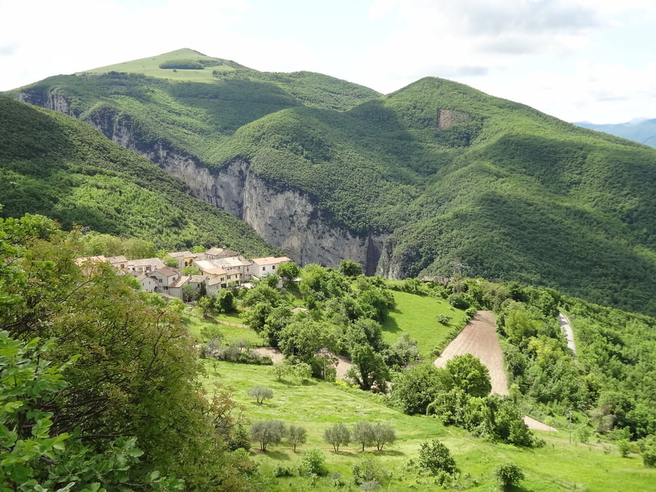
Galerija izletov

Zemljevid in višinski profil izleta

  • Open Street Map
  • Google
Minimum height 426 m Maximum height 643 m Prikaz podrobnosti

More about the tour author

rödivomsee
Member since 2008

Send private message

Komentarji

Parkmöglichkeit am Anfang der Wanderung am Straßenrand.

Poti GPS

Trackpoints
  • GPX / Garmin Map Source (gpx) download
  • TCX / Garmin Training Center® (tcx) download
  • CRS / Garmin Training Center® (crs) download
  • Google Earth (kml) download
  • G7ToWin (g7t) download
  • TTQV (trk) download
  • Overlay (ovl) download
  • Fugawi (txt) download
  • Kompass (DAV) Track (tk) download
  • List z izleti (pdf) download
  • Original file of the author (gpx) download

More about the tour author

rödivomsee
Member since 2008

Send private message
Share track
Add to my favorites
Remove from my favorites
Edit tags
My score
Rate
Izlet: Rundwanderung Monte la Croce
Vrsta: Pešačenje
Dolžina: 6,3 km
Evaluated on:
Trajanje:
Day(s)
Hour(s)
Minute(s)
Ocena: Pokrajina Dejavnik zabave Kondicija Tehnika