Login

Si pozabil/a podatke za prijavo?

Cookies have to be accepted!
Your browser's cookie functionality is disabled. Please enable this functionality.

Not a member yet?

Register now
Login

Available for registred users only

Log in to use this feature.

Si pozabil/a podatke za prijavo?

Cookies have to be accepted!
Your browser's cookie functionality is disabled. Please enable this functionality.

Not a member yet?

Register now
Filter
Kategorije
Advanced filters
  • Dolžina (km)
  • Metri nadmorske višine
Shrani filter Reset filter

TrackRank

QRCode

Technical data

Dolžina47,0 km Metri nadmorske višine1337 m Way down1335 m Trajanje04:00 h:m Datum02.06.2013
Ocene Author Pokrajina Dejavnik zabave Kondicija Tehnika

Statistika

547 Pogledi Ocene 97 Prenosi Povprečje
Rate
  • List z izleti
  • Prihod
  • Prenosi
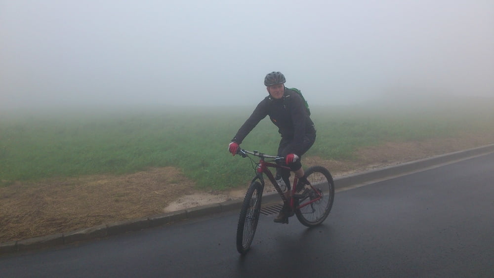
Schöne Tour durch die durch die Hochrhön .Leider war das Wetter nicht gut und nach viel Regen war der Boden sehr matschig

Zemljevid in višinski profil izleta

  • Open Street Map
  • Google
Minimum height 439 m Maximum height 958 m Prikaz podrobnosti

More about the tour author

urmeleumel
Member since 2012

Send private message

Komentarji

Die Tour startet am Zentralparkplatz in Bischofsheim

Poti GPS

Trackpoints
  • GPX / Garmin Map Source (gpx) download
  • TCX / Garmin Training Center® (tcx) download
  • CRS / Garmin Training Center® (crs) download
  • Google Earth (kml) download
  • G7ToWin (g7t) download
  • TTQV (trk) download
  • Overlay (ovl) download
  • Fugawi (txt) download
  • Kompass (DAV) Track (tk) download
  • List z izleti (pdf) download
  • Original file of the author (gpx) download

More about the tour author

urmeleumel
Member since 2012

Send private message
Share track
Add to my favorites
Remove from my favorites
Edit tags
My score
Rate
Izlet: Wasserkuppe
Vrsta: Gorsko kolo
Dolžina: 47,0 km
Evaluated on:
Trajanje:
Day(s)
Hour(s)
Minute(s)
Ocena: Pokrajina Dejavnik zabave Kondicija Tehnika