


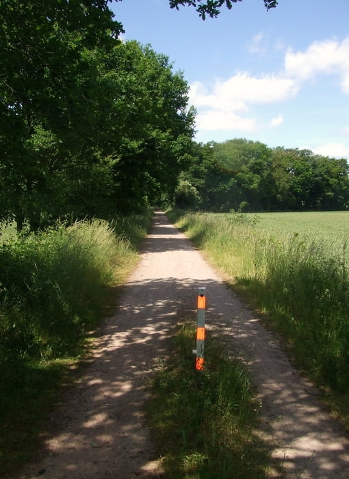
Wir starten in Heek an der Donaustraße. Vorbei am Donaugraben fahren wir fast ausschließlich über asphaltierte Wirtschaftwege nach Ochtrup. Von hier geht es über eine Eisenbahntrasse nach Rheine. Dort wird ein kleiner Abstecher an die Ems gemacht. Nun gehts über eine weitere Bahntrasse nach Burgsteinfurt. Zu einem Kaffee sind wir ins Zentrum gefahren. Sehenswert ist auch der Banjopark. Von hier über eine weitere Bahntrasse die durch Methelen führt fahren wir zurück nach Heek.
Galerija izletov


Zemljevid in višinski profil izleta
Minimum height 31 m
Maximum height 85 m
More about the tour author

|
civap |
Komentarji

Autobanabfahrt Heek die B70 Richtung Heek fahren. Am Kreisverkehr rechts in die Bahnhofstraße und dann sofort in die Donaustraße abbiegen.
Donaustraße 9
48619 Heek 14 m SW
52.123464, 7.104837
+52° 7' 24.47", +7° 6' 17.41"
Poti GPS
Trackpoints-
GPX / Garmin Map Source (gpx) download
-
TCX / Garmin Training Center® (tcx) download
-
CRS / Garmin Training Center® (crs) download
-
Google Earth (kml) download
-
G7ToWin (g7t) download
-
TTQV (trk) download
-
Overlay (ovl) download
-
Fugawi (txt) download
-
Kompass (DAV) Track (tk) download
-
List z izleti (pdf) download
-
Original file of the author (gpx) download
More about the tour author
|
|
civap |
Add to my favorites
Remove from my favorites
Edit tags
Open track
My score
Rate