


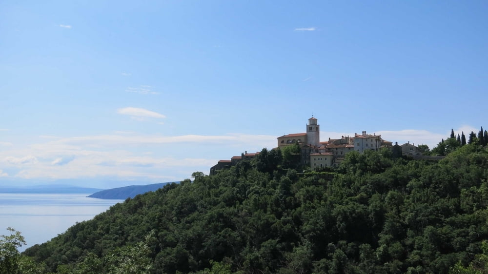
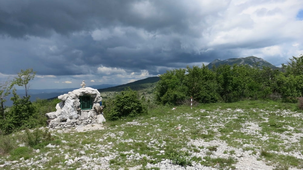
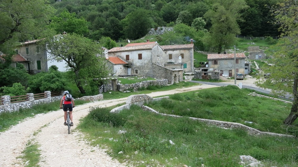
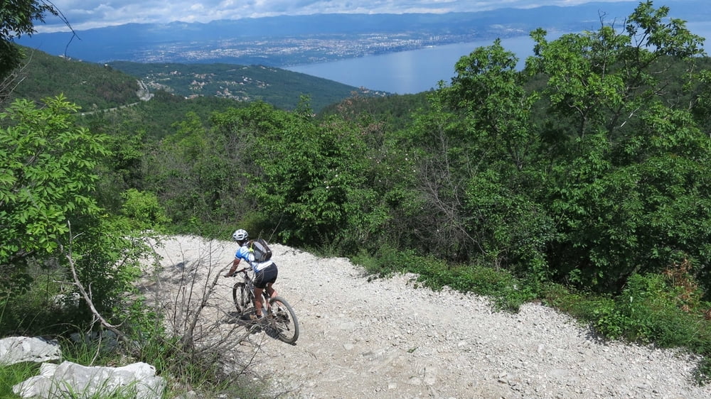
Schöne Rundtour durch den Ucka-Naturpark mit 60 % Schotter und 40% Asphaltanteil. Die Tour entspricht im wesentlichen der gut ausgeschilderten Route Nr. 8 des Ucka-Bikeführers, der in den örtlichen Tourismusbüros erhältlich ist. Die Auffahrt ist zwar nicht überaus steil aber durch den rolligen Schotter sehr anstrengend. Wir starteten am Autocamp Medveja und fuhren über Moscenicka Draga und Moscenice nach St. Jelena mit herrlichen Aussichten auf das Meer und die Inseln. Über den Schotterpass Bodjaj geht es zum höchst gelegenen Dorf Istriens Mala Ucka. Von hier geht es vorbei am Eingang des Uckatunnels und hinab nach Lovran und an der Küstenstraße zurück nach Medveja.
Galerija izletov
Zemljevid in višinski profil izleta
Minimum height 14 m
Maximum height 1054 m
More about the tour author
|
|
RudolfTill |
Komentarji

Von der Autobahn A 8 fährt man bei Matulji ab und über Opatija und Lovran nach Medveja.
Poti GPS
Trackpoints-
GPX / Garmin Map Source (gpx) download
-
TCX / Garmin Training Center® (tcx) download
-
CRS / Garmin Training Center® (crs) download
-
Google Earth (kml) download
-
G7ToWin (g7t) download
-
TTQV (trk) download
-
Overlay (ovl) download
-
Fugawi (txt) download
-
Kompass (DAV) Track (tk) download
-
List z izleti (pdf) download
-
Original file of the author (gpx) download
More about the tour author
|
|
RudolfTill |
Add to my favorites
Remove from my favorites
Edit tags
Open track
My score
Rate