

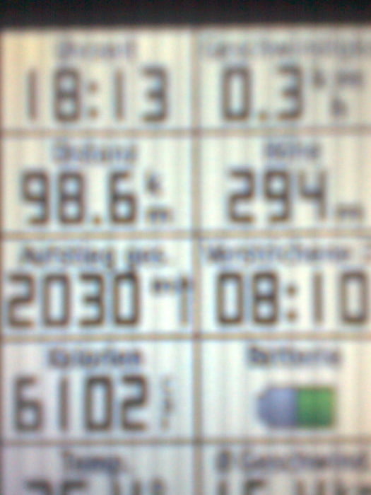
Die Tour beginnt in Aspach und führt zunächst durch die Stadt Backnang Richtung Steinbach und in den Wald Richtung Eschelhof. Von da an gehts zu 90% im Wald auf Wander und Forstwegen weiter Richtung Murrhardt, Grab, Meinhardt, Frohnfalls, Wüstenrot, Breitenauer See. Am See sind dann ca.70 KM und 1600 HM bewältigt bevor es dann wieder hoch nach Löwenstein geht und noch weiter pedaliert werden muß um an Nassach vorbei Richtung Rietenau un dann zum Ausgangspunkt zurückzukehren.
Die Tour eignet sich gut um Lanzeitausdauer zu trainieren :-)
Nach der Singletrailskala überwiegend S0-S1
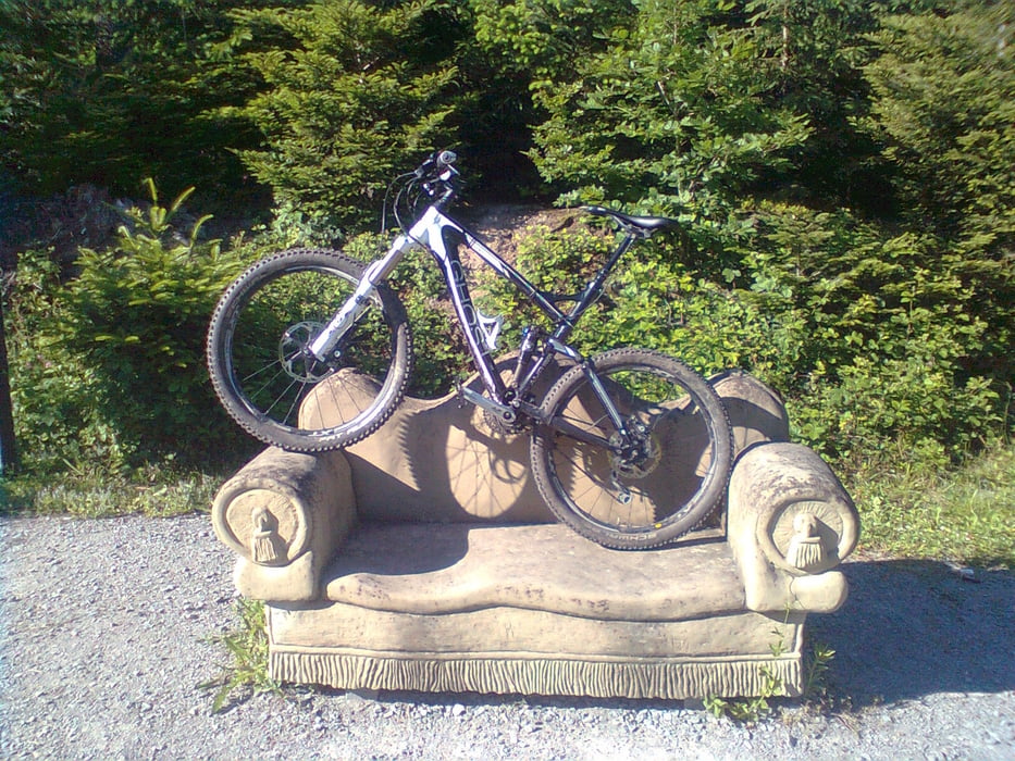
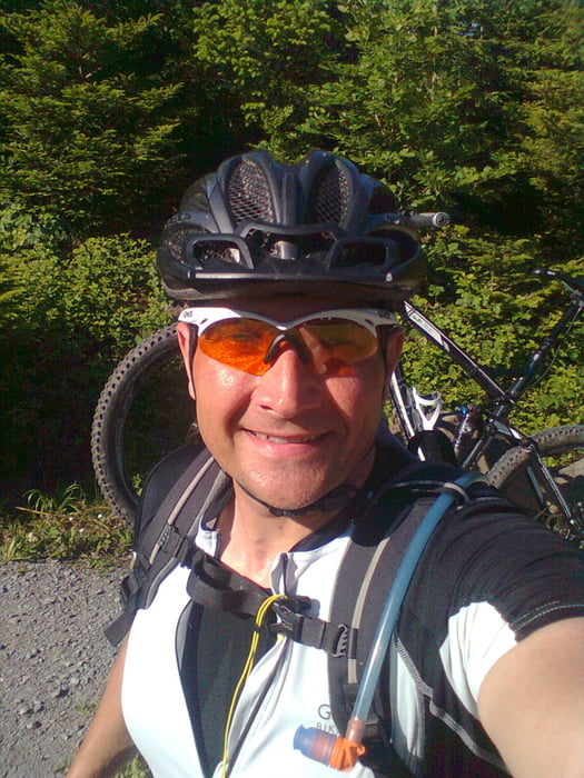
Galerija izletov
Zemljevid in višinski profil izleta
Minimum height 207 m
Maximum height 576 m
More about the tour author
|
|
RolandChristner |
Komentarji

Poti GPS
Trackpoints-
GPX / Garmin Map Source (gpx) download
-
TCX / Garmin Training Center® (tcx) download
-
CRS / Garmin Training Center® (crs) download
-
Google Earth (kml) download
-
G7ToWin (g7t) download
-
TTQV (trk) download
-
Overlay (ovl) download
-
Fugawi (txt) download
-
Kompass (DAV) Track (tk) download
-
List z izleti (pdf) download
-
Original file of the author (gpx) download
More about the tour author
|
|
RolandChristner |
Add to my favorites
Remove from my favorites
Edit tags
Open track
My score
Rate