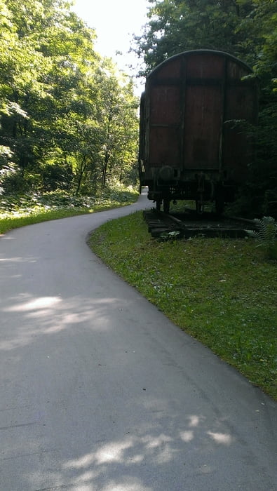
Mitten durch das Sauerland. Super schöner Radweg auf alten Bahntrassen. Finnentrop, Lennestadt, Schmallenberg und Eslohe sind sehenswerte Orte an der Strecke. Anstiege gibt es so gut wie keine. Es geht zwar kilometerlang nacvh oben, aber doch sehr moderat. Eine Steigung mit ca. 10% hat man aber immer zu überwinden, egal in welche Richtung man den Ring fährt. Diese ist jedoch so kurz das man in 2 - 3 Minuten schiebend oben ist.
Galerija izletov
Zemljevid in višinski profil izleta
Minimum height 229 m
Maximum height 443 m
Komentarji

Poti GPS
Trackpoints-
GPX / Garmin Map Source (gpx) download
-
TCX / Garmin Training Center® (tcx) download
-
CRS / Garmin Training Center® (crs) download
-
Google Earth (kml) download
-
G7ToWin (g7t) download
-
TTQV (trk) download
-
Overlay (ovl) download
-
Fugawi (txt) download
-
Kompass (DAV) Track (tk) download
-
List z izleti (pdf) download
-
Original file of the author (gpx) download
Add to my favorites
Remove from my favorites
Edit tags
Open track
My score
Rate


