


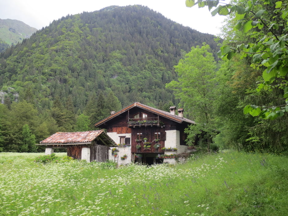
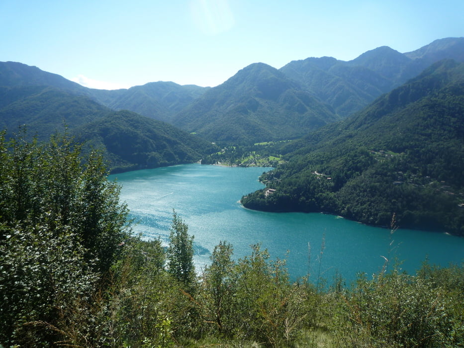
Wir fahren von Molina di Ledro aus direkt am Seeufer entlang Richtung Pur und weiter bis Pieve.Nach einem Anstieg auf der Straße geht es weiter ins Val di Concei .Wir benutzen überwiegent Wanderwege die mit dem Bike sehr gut zu fahren sind.Am Rifugio al Faggio kann man den Durst oder Hunger löschen,oder noch ein paar 100 Meter weiter fahren bis ans Ende der Straße.Nun fahren wir wieder zurück bis Locca.Hier geht es nicht hinunter zum See sondern links ab auf einen wunderschönen Wanderweg der uns bergauf auf 1000 Meter Höhe und auf einen noch schöneren Ausichtspunkt bringt. Weiter geht es steil auf einer Betonrampe bergab nach Mezzolago und weiter bis Molina.
Galerija izletov


Zemljevid in višinski profil izleta
Minimum height 653 m
Maximum height 1047 m
More about the tour author
|
|
baumgarten |
Komentarji

Poti GPS
Trackpoints-
GPX / Garmin Map Source (gpx) download
-
TCX / Garmin Training Center® (tcx) download
-
CRS / Garmin Training Center® (crs) download
-
Google Earth (kml) download
-
G7ToWin (g7t) download
-
TTQV (trk) download
-
Overlay (ovl) download
-
Fugawi (txt) download
-
Kompass (DAV) Track (tk) download
-
List z izleti (pdf) download
-
Original file of the author (gpx) download
More about the tour author
|
|
baumgarten |
Add to my favorites
Remove from my favorites
Edit tags
Open track
My score
Rate