Login

Si pozabil/a podatke za prijavo?

Cookies have to be accepted!
Your browser's cookie functionality is disabled. Please enable this functionality.

Not a member yet?

Register now
Login

Available for registred users only

Log in to use this feature.

Si pozabil/a podatke za prijavo?

Cookies have to be accepted!
Your browser's cookie functionality is disabled. Please enable this functionality.

Not a member yet?

Register now
Filter
Kategorije
Advanced filters
  • Dolžina (km)
  • Metri nadmorske višine
Shrani filter Reset filter

TrackRank

QRCode

Technical data

Dolžina64,6 km Metri nadmorske višine112 m Way down112 m Trajanje03:15 h:m Datum30.06.2013
Ocene Author Pokrajina Dejavnik zabave Kondicija Tehnika

Statistika

1118 Pogledi Ocene 19 Prenosi Povprečje
Rate
  • List z izleti
  • Prihod
  • Prenosi
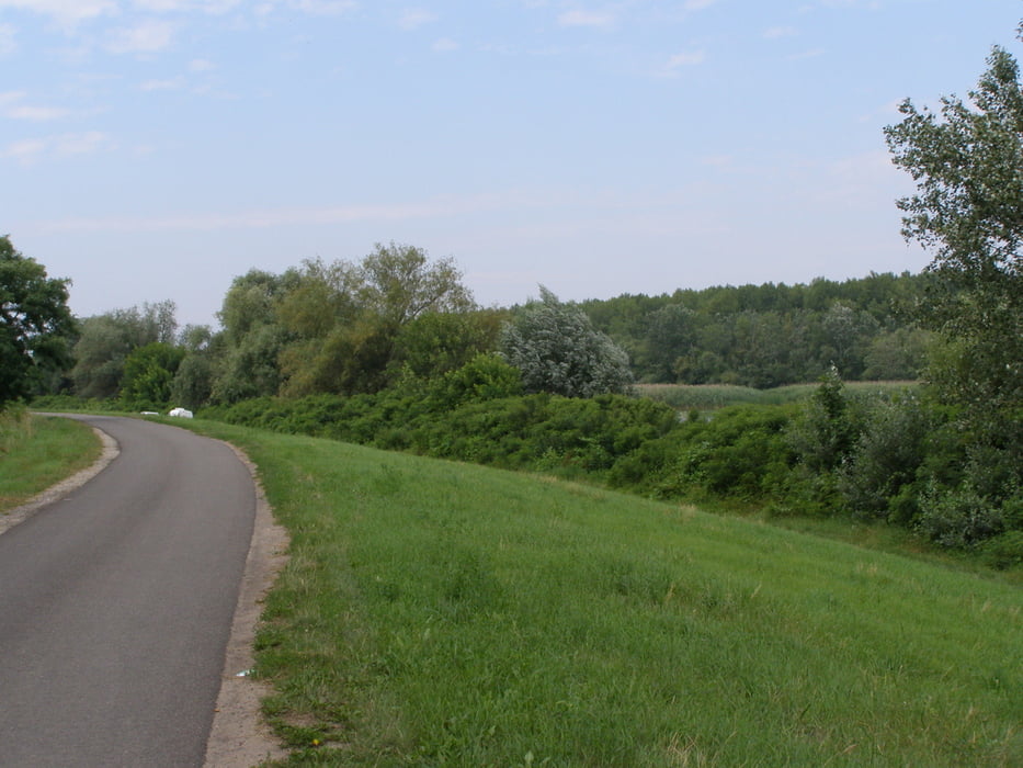
Könnyű, nagyon jó minőségű úton. De: Tiszafüredig forgalmas közút! Rengeteg vendéglátóhellyel, fürdési lehetőséggel.

Galerija izletov

Zemljevid in višinski profil izleta

  • Open Street Map
  • Google
Minimum height 81 m Maximum height 94 m Prikaz podrobnosti

More about the tour author

KarsaiA
Member since 2012

Send private message

Komentarji

M3 autópálya, Füzesabony kihajtó, 33-as úton Hortobágy felé

Poti GPS

Trackpoints
  • GPX / Garmin Map Source (gpx) download
  • TCX / Garmin Training Center® (tcx) download
  • CRS / Garmin Training Center® (crs) download
  • Google Earth (kml) download
  • G7ToWin (g7t) download
  • TTQV (trk) download
  • Overlay (ovl) download
  • Fugawi (txt) download
  • Kompass (DAV) Track (tk) download
  • List z izleti (pdf) download
  • Original file of the author (tcx) download

More about the tour author

KarsaiA
Member since 2012

Send private message
Share track
Add to my favorites
Remove from my favorites
Edit tags
My score
Rate
Izlet: Tisza-tó kiskör Poroszló-Kisköre-Poroszló
Vrsta: Izleti s kolesom
Dolžina: 64,6 km
Evaluated on:
Trajanje:
Day(s)
Hour(s)
Minute(s)
Ocena: Pokrajina Dejavnik zabave Kondicija Tehnika