Login

Si pozabil/a podatke za prijavo?

Cookies have to be accepted!
Your browser's cookie functionality is disabled. Please enable this functionality.

Not a member yet?

Register now
Login

Available for registred users only

Log in to use this feature.

Si pozabil/a podatke za prijavo?

Cookies have to be accepted!
Your browser's cookie functionality is disabled. Please enable this functionality.

Not a member yet?

Register now
Filter
Kategorije
Advanced filters
  • Dolžina (km)
  • Metri nadmorske višine
Shrani filter Reset filter

TrackRank

QRCode

Technical data

Dolžina13,0 km Metri nadmorske višine298 m Way down293 m Trajanje04:00 h:m Datum07.07.2013
Ocene Author User Pokrajina Dejavnik zabave Kondicija Tehnika

Statistika

445 Pogledi 1 Ocena 44 Prenosi 5.00 Povprečje
Rate
  • List z izleti
  • Prihod
  • Prenosi

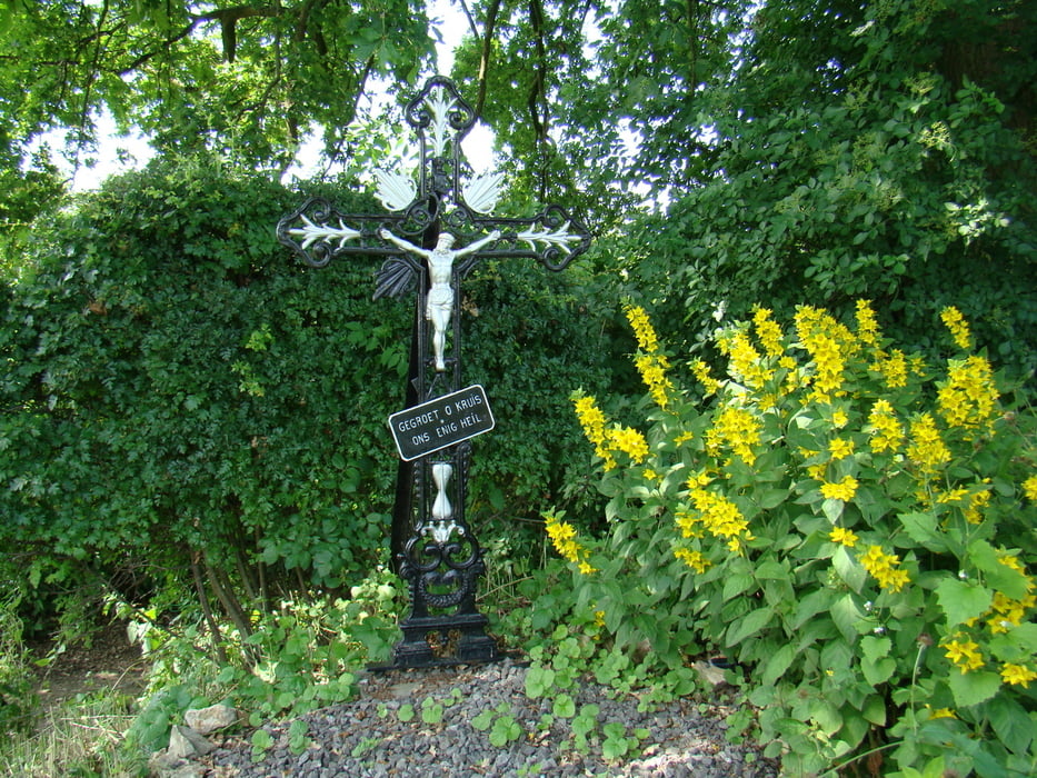
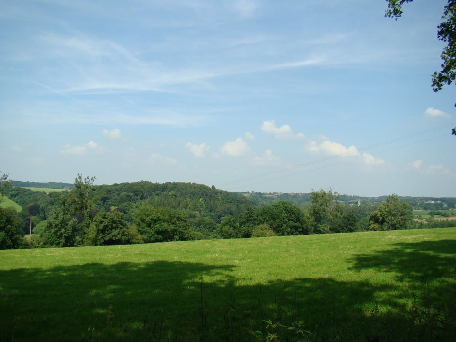
Mooie tocht door het glooiende landschap van de voerstreek.

Niet geschikt voor rolstoelen en kinderwagens.

Zeker in het Bakhuis te Sint Maartens Voeren een ijsje eten, deze zijn overheerlijk


Galerija izletov

Zemljevid in višinski profil izleta

  • Open Street Map
  • Google
Minimum height 71 m Maximum height 238 m Prikaz podrobnosti

More about the tour author

ikkel
Member since 2009

Send private message

Komentarji

Poti GPS

Trackpoints
  • GPX / Garmin Map Source (gpx) download
  • TCX / Garmin Training Center® (tcx) download
  • CRS / Garmin Training Center® (crs) download
  • Google Earth (kml) download
  • G7ToWin (g7t) download
  • TTQV (trk) download
  • Overlay (ovl) download
  • Fugawi (txt) download
  • Kompass (DAV) Track (tk) download
  • List z izleti (pdf) download
  • Original file of the author (gpx) download

More about the tour author

ikkel
Member since 2009

Send private message
Share track
Add to my favorites
Remove from my favorites
Edit tags
My score
Rate
Izlet: Wandelen in de voerstreek
Vrsta: Pešačenje
Dolžina: 13,0 km
Evaluated on:
Trajanje:
Day(s)
Hour(s)
Minute(s)
Ocena: Pokrajina Dejavnik zabave Kondicija Tehnika