Login

Si pozabil/a podatke za prijavo?

Cookies have to be accepted!
Your browser's cookie functionality is disabled. Please enable this functionality.

Not a member yet?

Register now
Login

Available for registred users only

Log in to use this feature.

Si pozabil/a podatke za prijavo?

Cookies have to be accepted!
Your browser's cookie functionality is disabled. Please enable this functionality.

Not a member yet?

Register now
Filter
Kategorije
Advanced filters
  • Dolžina (km)
  • Metri nadmorske višine
Shrani filter Reset filter

TrackRank

QRCode

Technical data

Dolžina7,3 km Metri nadmorske višine623 m Way down301 m Trajanje03:00 h:m Datum12.07.2013
Ocene Author Pokrajina Dejavnik zabave Kondicija Tehnika

Statistika

237 Pogledi Ocene 11 Prenosi Povprečje
Rate
  • List z izleti
  • Prihod
  • Prenosi
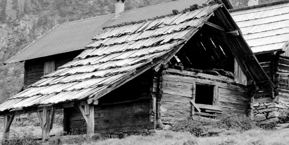
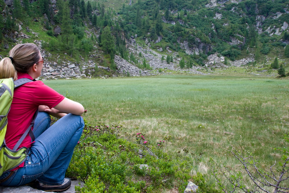
Hoch über Trebesing geht es rauf auf die Zlattingeralm und weiter hinein ins Serzenmoos, das schon eingebettet unterm Nordhang des Gmeinecks liegt, leider hat das Wetter nicht so mitgespielt.

Galerija izletov

Zemljevid in višinski profil izleta

  • Open Street Map
  • Google
Minimum height 1303 m Maximum height 1905 m Prikaz podrobnosti

More about the tour author

kateem
Member since 2010

Send private message

Komentarji

Poti GPS

Trackpoints
  • GPX / Garmin Map Source (gpx) download
  • TCX / Garmin Training Center® (tcx) download
  • CRS / Garmin Training Center® (crs) download
  • Google Earth (kml) download
  • G7ToWin (g7t) download
  • TTQV (trk) download
  • Overlay (ovl) download
  • Fugawi (txt) download
  • Kompass (DAV) Track (tk) download
  • List z izleti (pdf) download
  • Original file of the author (gpx) download

More about the tour author

kateem
Member since 2010

Send private message
Share track
Add to my favorites
Remove from my favorites
Edit tags
My score
Rate
Izlet: Serzenmoos
Vrsta: Pešačenje
Dolžina: 7,3 km
Evaluated on:
Trajanje:
Day(s)
Hour(s)
Minute(s)
Ocena: Pokrajina Dejavnik zabave Kondicija Tehnika