Login

Si pozabil/a podatke za prijavo?

Cookies have to be accepted!
Your browser's cookie functionality is disabled. Please enable this functionality.

Not a member yet?

Register now
Login

Available for registred users only

Log in to use this feature.

Si pozabil/a podatke za prijavo?

Cookies have to be accepted!
Your browser's cookie functionality is disabled. Please enable this functionality.

Not a member yet?

Register now
Filter
Kategorije
Advanced filters
  • Dolžina (km)
  • Metri nadmorske višine
Shrani filter Reset filter

TrackRank

QRCode

Technical data

Dolžina75,5 km Metri nadmorske višine1477 m Way down1479 m Trajanje05:00 h:m Datum24.07.2013
Ocene Author Pokrajina Dejavnik zabave Kondicija Tehnika

Statistika

554 Pogledi Ocene 89 Prenosi Povprečje
Rate
  • List z izleti
  • Prihod
  • Prenosi
Von Ettal Richtung Linderhof und dann hoch zur Rotmoosalm. Abfahrt ins Loisachtal und am Radweg nahe der Ehrwalder Strasse entlang nach Ehrwald. Von dort hoch nach Obermoos zum Startpunkt der Tiroler Zugspitzbahn und weiter zum Hochthörle. Von da aus Abfahrt zum Eibsee und weiter nach Grainau. Über Garmisch-Partenkirchen und Oberau zurück nach Ettal.
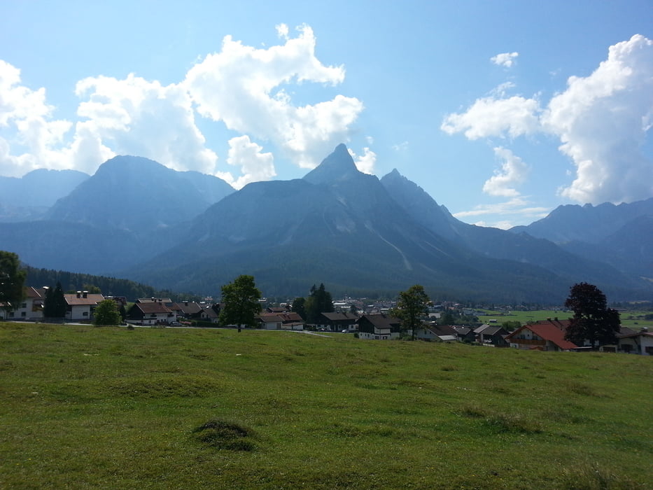
Galerija izletov

Zemljevid in višinski profil izleta

  • Open Street Map
  • Google
Minimum height 654 m Maximum height 1510 m Prikaz podrobnosti

More about the tour author

branco68
Member since 2012

Send private message

Komentarji

Mit dem Auto nach Ettal.

Poti GPS

Trackpoints
  • GPX / Garmin Map Source (gpx) download
  • TCX / Garmin Training Center® (tcx) download
  • CRS / Garmin Training Center® (crs) download
  • Google Earth (kml) download
  • G7ToWin (g7t) download
  • TTQV (trk) download
  • Overlay (ovl) download
  • Fugawi (txt) download
  • Kompass (DAV) Track (tk) download
  • List z izleti (pdf) download
  • Original file of the author (gpx) download

More about the tour author

branco68
Member since 2012

Send private message
Share track
Add to my favorites
Remove from my favorites
Edit tags
My score
Rate
Izlet: Ettal - Ehrwald
Vrsta: Gorsko kolo
Dolžina: 75,5 km
Evaluated on:
Trajanje:
Day(s)
Hour(s)
Minute(s)
Ocena: Pokrajina Dejavnik zabave Kondicija Tehnika