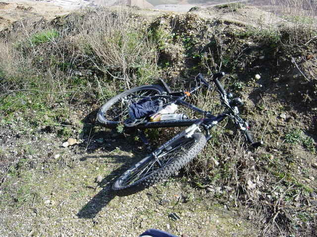
Stationen u.a.der Tour:Papsthügel,Braunkohletagebau und
Brühler Schloß
Brühler Schloß
Galerija izletov
Zemljevid in višinski profil izleta
Minimum height 22 m
Maximum height 398 m
Komentarji
Poti GPS
Trackpoints-
GPX / Garmin Map Source (gpx) download
-
TCX / Garmin Training Center® (tcx) download
-
CRS / Garmin Training Center® (crs) download
-
Google Earth (kml) download
-
G7ToWin (g7t) download
-
TTQV (trk) download
-
Overlay (ovl) download
-
Fugawi (txt) download
-
Kompass (DAV) Track (tk) download
-
List z izleti (pdf) download
-
Original file of the author (gpx) download
Add to my favorites
Remove from my favorites
Edit tags
Open track
My score
Rate


Rund um Köln
aus.
Leider fällt der rechtsrheinische Teil stark ab.
man kann in Köln-Weiß mit der Fähre nach Zündorf übersetzen.Dann gehts weiter Richtung Wahner Heide,
Königsforst und Brück zurück.Das ist deutlich schöner.
Werde den Track dahingehend ändern.
Stephan