

Tag 7-endlich der Lago
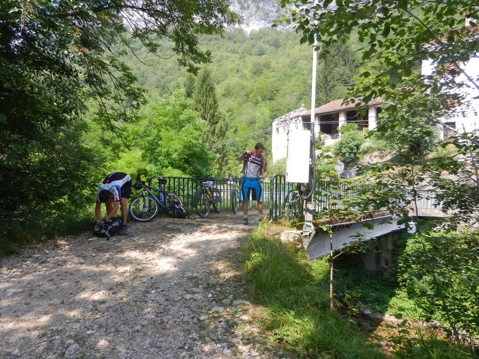
Der letzte Abschnitt des Alpencross 2013. Reine Straßenetappe und bis zum Übergang in Val Posina kurz hinter Arsiere recht stark befahrene Landstraße. Danach wird es merklich ruhiger und viele Rennradler waren mit uns unterwegs. Bei 35-40°C sind die 19 Kehren zum Passo Borcola kein Zuckerschlecken. Die letze Möglichkeit zum Flaschenfüllen ist in Posine. Danach wird es trocken. Nach dem Passo gehts wirklich schön und flüssig auf Asphalt bis nach Rovereto. Ein kurzer Fotostopp. Die Freude auf den Lago ist groß und der Radweg dahin gut ausgeschildert. Vorbei am Stau in Richtung Nago ist es unterhalb der Straße recht schattig. Dann ist er da. Nach 520km ein Weißbier und das erfrischende Bad. Viel besser geht es nicht
Further information at
https://bsgzabalpencross.blogspot.de/#!/2013/07/7etappe.htmlGalerija izletov


Zemljevid in višinski profil izleta
Minimum height 73 m
Maximum height 1184 m
More about the tour author

|
jazzer |
Komentarji

Poti GPS
Trackpoints-
GPX / Garmin Map Source (gpx) download
-
TCX / Garmin Training Center® (tcx) download
-
CRS / Garmin Training Center® (crs) download
-
Google Earth (kml) download
-
G7ToWin (g7t) download
-
TTQV (trk) download
-
Overlay (ovl) download
-
Fugawi (txt) download
-
Kompass (DAV) Track (tk) download
-
List z izleti (pdf) download
-
Original file of the author (gpx) download
More about the tour author
|
|
jazzer |
Add to my favorites
Remove from my favorites
Edit tags
Open track
My score
Rate