Login

Si pozabil/a podatke za prijavo?

Cookies have to be accepted!
Your browser's cookie functionality is disabled. Please enable this functionality.

Not a member yet?

Register now
Login

Available for registred users only

Log in to use this feature.

Si pozabil/a podatke za prijavo?

Cookies have to be accepted!
Your browser's cookie functionality is disabled. Please enable this functionality.

Not a member yet?

Register now
Filter
Kategorije
Advanced filters
  • Dolžina (km)
  • Metri nadmorske višine
Shrani filter Reset filter

TrackRank

QRCode

Technical data

Dolžina13,5 km Metri nadmorske višine717 m Way down748 m Trajanje03:45 h:m Datum26.08.2013
Ocene Author Pokrajina Dejavnik zabave Kondicija Tehnika

Statistika

1556 Pogledi Ocene 98 Prenosi Povprečje
Rate
  • List z izleti
  • Prihod
  • Prenosi

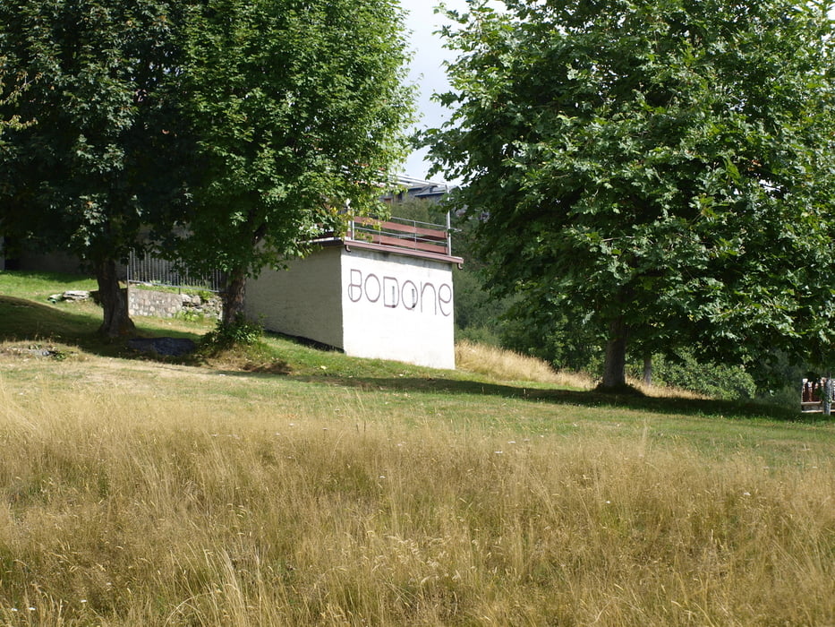
Gestartet sind wir bei Bollarina bei einer Höhe von 846 m. Die Fahrstrasse hoch nach Bodone, dann über einen Wanderweg weiter zur Alpe Motta und zum Monte la Motta (1516m). Von Peglio über einen Fahrweg zurück nach Bollarina.


Galerija izletov

Zemljevid in višinski profil izleta

  • Open Street Map
  • Google
Minimum height 847 m Maximum height 1521 m Prikaz podrobnosti

More about the tour author

Sporty-Paul
Member since 2012

Send private message

Komentarji

Bockrider on 07.07.2014

Bodone

Wir haben die wanderung am 6.7. 2014 ab Parkplatz(1100m) gemacht. War sehr heiß weil speziell die ersten 350hm voll in der Sonne sind. Besser anders rum dann ist der Abstieg in der Sonne und die grandiose Aussicht kann man so besser geniessen.
Hinweis:
Die Zufahrt (mit Auto) ab Peglio ist Mautpflichtig (1€) und das Ticket gibts an einem Automat in Livo.
Insgesamt eine schöne Tour aber lieber NICHT im Hochsommer weil kein Schatten auf der gesamten Tour.
Bockrider on 17.07.2014

Bodone

Korrektur: Das Ticket gibts am Automat in Peglio (Automat am Municipio in der Hauswand an der Strasse)

Poti GPS

Trackpoints
  • GPX / Garmin Map Source (gpx) download
  • TCX / Garmin Training Center® (tcx) download
  • CRS / Garmin Training Center® (crs) download
  • Google Earth (kml) download
  • G7ToWin (g7t) download
  • TTQV (trk) download
  • Overlay (ovl) download
  • Fugawi (txt) download
  • Kompass (DAV) Track (tk) download
  • List z izleti (pdf) download
  • Original file of the author (tcx) download

More about the tour author

Sporty-Paul
Member since 2012

Send private message
Share track
Add to my favorites
Remove from my favorites
Edit tags
My score
Rate
Izlet: Bollarina-Bodone-Alpe Motta-Monte la Motta
Vrsta: Pešačenje
Dolžina: 13,5 km
Evaluated on:
Trajanje:
Day(s)
Hour(s)
Minute(s)
Ocena: Pokrajina Dejavnik zabave Kondicija Tehnika