Login

Si pozabil/a podatke za prijavo?

Cookies have to be accepted!
Your browser's cookie functionality is disabled. Please enable this functionality.

Not a member yet?

Register now
Login

Available for registred users only

Log in to use this feature.

Si pozabil/a podatke za prijavo?

Cookies have to be accepted!
Your browser's cookie functionality is disabled. Please enable this functionality.

Not a member yet?

Register now
Filter
Kategorije
Advanced filters
  • Dolžina (km)
  • Metri nadmorske višine
Shrani filter Reset filter

TrackRank

QRCode

Technical data

Dolžina29,2 km Metri nadmorske višine961 m Way down931 m Trajanje02:24 h:m Datum31.08.2013
Ocene Author Pokrajina Dejavnik zabave Kondicija Tehnika

Statistika

420 Pogledi Ocene 97 Prenosi Povprečje
Rate
  • List z izleti
  • Prihod
  • Prenosi
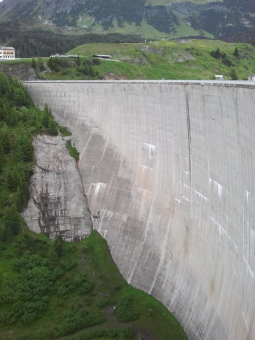
From Galtür first on asphalt and gravel into direction of Alpkogel. From there steep down below a ski lift to the Kops reservoir. Along the shore to the dam, and from there towards the Verbella Alpe and Heilbronner Hütte on gravel paths. Last 200 m to the hut are steep. From the hut down to Galtür on the same gravel paths and on asphalt roads.

Galerija izletov

Zemljevid in višinski profil izleta

  • Open Street Map
  • Google
Minimum height 1576 m Maximum height 2309 m Prikaz podrobnosti

More about the tour author

benthumw
Member since 2013

Send private message

Komentarji

Poti GPS

Trackpoints
  • GPX / Garmin Map Source (gpx) download
  • TCX / Garmin Training Center® (tcx) download
  • CRS / Garmin Training Center® (crs) download
  • Google Earth (kml) download
  • G7ToWin (g7t) download
  • TTQV (trk) download
  • Overlay (ovl) download
  • Fugawi (txt) download
  • Kompass (DAV) Track (tk) download
  • List z izleti (pdf) download
  • Original file of the author (gpx) download

More about the tour author

benthumw
Member since 2013

Send private message
Share track
Add to my favorites
Remove from my favorites
Edit tags
My score
Rate
Izlet: Galtür - Heilbronner Hütte
Vrsta: Gorsko kolo
Dolžina: 29,2 km
Evaluated on:
Trajanje:
Day(s)
Hour(s)
Minute(s)
Ocena: Pokrajina Dejavnik zabave Kondicija Tehnika