Login

Si pozabil/a podatke za prijavo?

Cookies have to be accepted!
Your browser's cookie functionality is disabled. Please enable this functionality.

Not a member yet?

Register now
Login

Available for registred users only

Log in to use this feature.

Si pozabil/a podatke za prijavo?

Cookies have to be accepted!
Your browser's cookie functionality is disabled. Please enable this functionality.

Not a member yet?

Register now
Filter
Kategorije
Advanced filters
  • Dolžina (km)
  • Metri nadmorske višine
Shrani filter Reset filter

TrackRank

QRCode

Technical data

Dolžina18,3 km Metri nadmorske višine1025 m Way down1028 m Trajanje07:00 h:m Datum08.09.2013
Ocene Author Pokrajina Dejavnik zabave Kondicija Tehnika

Statistika

371 Pogledi Ocene 28 Prenosi Povprečje
Rate
  • List z izleti
  • Prihod
  • Prenosi

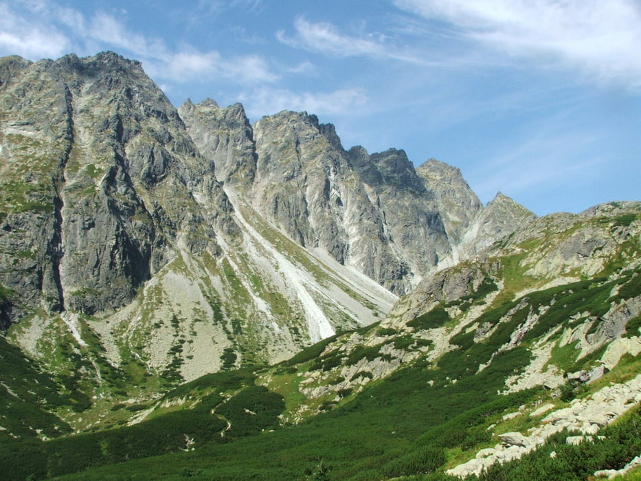
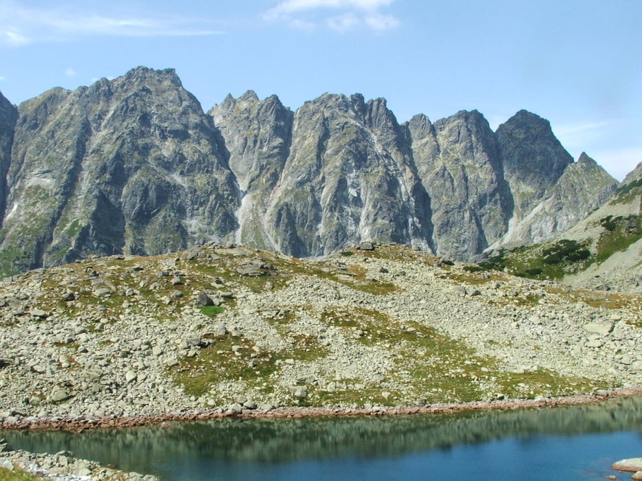
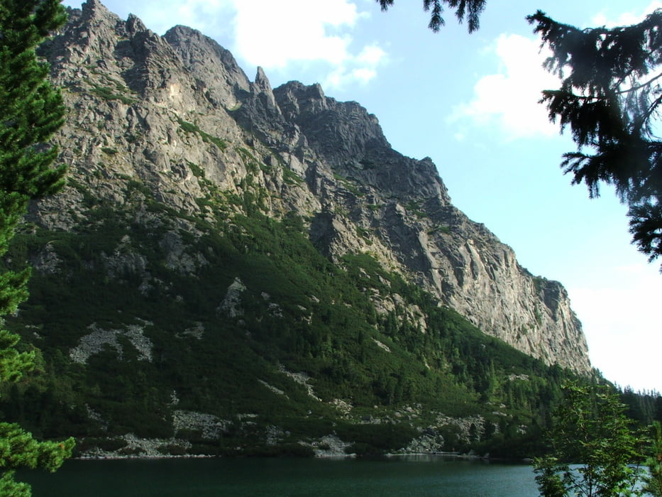
Wegverlauf: Štrbské Pleso - Malé/ Veľke Žabie Pleso - Chata pod Rysmi - Malé/ Veľke Žabie Pleso - Popradské Pleso - Štrbské Pleso


Galerija izletov

Zemljevid in višinski profil izleta

  • Open Street Map
  • Google
Minimum height 1323 m Maximum height 2235 m Prikaz podrobnosti

More about the tour author

lothardomnik
Member since 2009

Send private message

Komentarji

Štrbské Pleso liegt 20 Kilometer nordwestlich von Poprad. D1 bis Štrba, dann nach Norden

Poti GPS

Trackpoints
  • GPX / Garmin Map Source (gpx) download
  • TCX / Garmin Training Center® (tcx) download
  • CRS / Garmin Training Center® (crs) download
  • Google Earth (kml) download
  • G7ToWin (g7t) download
  • TTQV (trk) download
  • Overlay (ovl) download
  • Fugawi (txt) download
  • Kompass (DAV) Track (tk) download
  • List z izleti (pdf) download
  • Original file of the author (gpx) download

More about the tour author

lothardomnik
Member since 2009

Send private message
Share track
Add to my favorites
Remove from my favorites
Edit tags
My score
Rate
Izlet: Hohe Tatra (1)
Vrsta: Izlet v gore
Dolžina: 18,3 km
Evaluated on:
Trajanje:
Day(s)
Hour(s)
Minute(s)
Ocena: Pokrajina Dejavnik zabave Kondicija Tehnika