
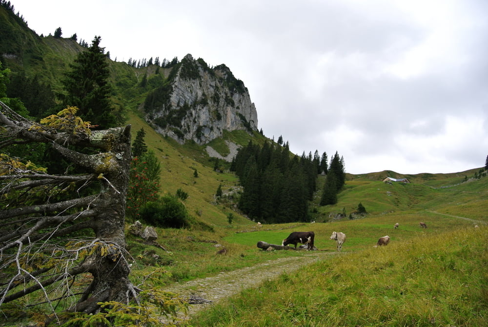

eine sehr schöne Runde durch den Bregenzer Wald von Alberschwende nach Sibratsgfäll und wieder zurück über Bezau, Egg nach Alberschwende.
Tour ist sowohl in 2 wie auch 1 Tag zu machen, je nach Leistungsstärke.
Das letzte Stück sind wir über die Hauptstraße zurückgefahren. Wahrscheinlich empfielt sich aber noch ein Stück nan der Bregenzerach weiterzufahren und auf einer der Nebenstraße die letzten 200hm hochzukurbeln.
Die Runde ist im Prinzip komplett fahrbar, bis auf ein ganz kurzes Schiebestück zur der Alpe Geserstobel.
Zemljevid in višinski profil izleta
Minimum height 534 m
Maximum height 1534 m
More about the tour author
|
|
FozzyFozzborn |
Komentarji

mit dem Auto von Lindau über Dornbirn nach Alberschwende (20 min). Parken im Zentrum auf dem Parkplatz vor der Raiffeisenbank (am Wochenende kein Problem).
Poti GPS
Trackpoints-
GPX / Garmin Map Source (gpx) download
-
TCX / Garmin Training Center® (tcx) download
-
CRS / Garmin Training Center® (crs) download
-
Google Earth (kml) download
-
G7ToWin (g7t) download
-
TTQV (trk) download
-
Overlay (ovl) download
-
Fugawi (txt) download
-
Kompass (DAV) Track (tk) download
-
List z izleti (pdf) download
-
Original file of the author (gpx) download
More about the tour author
|
|
FozzyFozzborn |
Add to my favorites
Remove from my favorites
Edit tags
Open track
My score
Rate