Login

Si pozabil/a podatke za prijavo?

Cookies have to be accepted!
Your browser's cookie functionality is disabled. Please enable this functionality.

Not a member yet?

Register now
Login

Available for registred users only

Log in to use this feature.

Si pozabil/a podatke za prijavo?

Cookies have to be accepted!
Your browser's cookie functionality is disabled. Please enable this functionality.

Not a member yet?

Register now
Filter
Kategorije
Advanced filters
  • Dolžina (km)
  • Metri nadmorske višine
Shrani filter Reset filter

TrackRank

QRCode

Technical data

Dolžina9,0 km Metri nadmorske višine438 m Way down394 m Trajanje03:00 h:m Datum12.09.2013
Ocene Author Pokrajina Dejavnik zabave Kondicija Tehnika

Statistika

1043 Pogledi Ocene 47 Prenosi Povprečje
Rate
  • List z izleti
  • Prihod
  • Prenosi

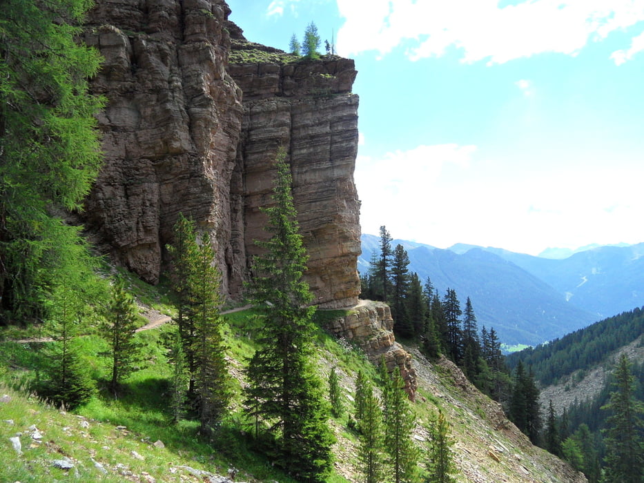
In Vigo di Fassa die Gondel nehmen,dann den Fassener Höhenweg folgen (Nr.545) bis zum Rif.Vael,und über den Schafsteig wieder zurück.


Galerija izletov

Zemljevid in višinski profil izleta

  • Open Street Map
  • Google
Minimum height 1945 m Maximum height 2338 m Prikaz podrobnosti

More about the tour author

torti40
Member since 2009

Send private message

Komentarji

Poti GPS

Trackpoints
  • GPX / Garmin Map Source (gpx) download
  • TCX / Garmin Training Center® (tcx) download
  • CRS / Garmin Training Center® (crs) download
  • Google Earth (kml) download
  • G7ToWin (g7t) download
  • TTQV (trk) download
  • Overlay (ovl) download
  • Fugawi (txt) download
  • Kompass (DAV) Track (tk) download
  • List z izleti (pdf) download
  • Original file of the author (gpx) download

More about the tour author

torti40
Member since 2009

Send private message
Share track
Add to my favorites
Remove from my favorites
Edit tags
My score
Rate
Izlet: Schafsteig
Vrsta: Pešačenje
Dolžina: 9,0 km
Evaluated on:
Trajanje:
Day(s)
Hour(s)
Minute(s)
Ocena: Pokrajina Dejavnik zabave Kondicija Tehnika