


Von der Falkenhütte gehte es zum Hohljoch und über einen herrlichen Höhenweg zum Gumpenjöchl.
Von Hier muss man durch die lange Rinne, steil und geröllig in den großen Ahornboden absteigen.
Wer diesen Abstieg vermeiden will, kann alternativ über den Adlerweg einen besser begehbaren Weg hinunter in den Ahornboden wählen.
Es gilt, Komfort und Aussicht gegeneinander abzuwägen.
Vom Ahornboden geht es via Binsalm zur Lamsenjochhütte.
Wir haben diese Tour als 3-Tages Tour Gernalm - Falkenhütte, Falkenhütte - Lamsenjochhütte und Lamsenjochhütte - Bergstation Karwendelbahn gemacht.
Das passt gut zusammen
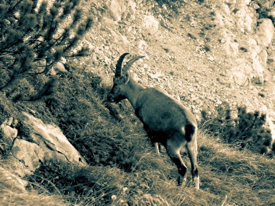
Galerija izletov


Zemljevid in višinski profil izleta
Minimum height 99999 m
Maximum height -99999 m
More about the tour author

|
sagi7 |
Komentarji

Poti GPS
Trackpoints-
GPX / Garmin Map Source (gpx) download
-
TCX / Garmin Training Center® (tcx) download
-
CRS / Garmin Training Center® (crs) download
-
Google Earth (kml) download
-
G7ToWin (g7t) download
-
TTQV (trk) download
-
Overlay (ovl) download
-
Fugawi (txt) download
-
Kompass (DAV) Track (tk) download
-
List z izleti (pdf) download
-
Original file of the author (gpx) download
More about the tour author
|
|
sagi7 |
Add to my favorites
Remove from my favorites
Edit tags
Open track
My score
Rate