Login

Si pozabil/a podatke za prijavo?

Cookies have to be accepted!
Your browser's cookie functionality is disabled. Please enable this functionality.

Not a member yet?

Register now
Login

Available for registred users only

Log in to use this feature.

Si pozabil/a podatke za prijavo?

Cookies have to be accepted!
Your browser's cookie functionality is disabled. Please enable this functionality.

Not a member yet?

Register now
Filter
Kategorije
Advanced filters
  • Dolžina (km)
  • Metri nadmorske višine
Shrani filter Reset filter

TrackRank

QRCode

Technical data

Dolžina45,6 km Metri nadmorske višine1000 m Way down1000 m Trajanje05:00 h:m Datum01.10.2013
Ocene Author Pokrajina Dejavnik zabave Kondicija Tehnika

Statistika

374 Pogledi Ocene 53 Prenosi Povprečje
Rate
  • List z izleti
  • Prihod
  • Prenosi

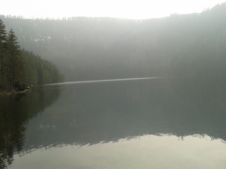
Abwechslungsreiche, technisch weniger anspruchsvolle Strecke. Landschaftlich sehr reizvoll vor allem im Bereich des Cerne Jezero. Gute Einkehrmöglichkeit bei Kolleruv Kostel mit hervorragender böhmischer Küche


Galerija izletov

Zemljevid in višinski profil izleta

  • Open Street Map
  • Google
Minimum height 530 m Maximum height 1102 m Prikaz podrobnosti

More about the tour author

Radlerer
Member since 2013

Send private message

Komentarji

Poti GPS

Trackpoints
  • GPX / Garmin Map Source (gpx) download
  • TCX / Garmin Training Center® (tcx) download
  • CRS / Garmin Training Center® (crs) download
  • Google Earth (kml) download
  • G7ToWin (g7t) download
  • TTQV (trk) download
  • Overlay (ovl) download
  • Fugawi (txt) download
  • Kompass (DAV) Track (tk) download
  • List z izleti (pdf) download
  • Original file of the author (gpx) download

More about the tour author

Radlerer
Member since 2013

Send private message
Share track
Add to my favorites
Remove from my favorites
Edit tags
My score
Rate
Izlet: Böhmen und Bayerwald
Vrsta: Gorsko kolo
Dolžina: 45,6 km
Evaluated on:
Trajanje:
Day(s)
Hour(s)
Minute(s)
Ocena: Pokrajina Dejavnik zabave Kondicija Tehnika