


Sehr schöne MTB Tour über Teilabschnitte der 4 Berge Skischaukel hoch über Schladming und Haus.
Start der Tour ist in Haus - über Oberhaus und Unterhaus abseits der Ennstalbundesstrasse bis Schladming (Abzweig Fastenberg) - über die Planaifahrstrasse nach Fastenberg bis zur Seilbahn Mittelstation der Planai (bis hierher Asphalt). Auf Schotterstrasse (Mautstation) bis zur Schladminger Hütte (Planai) - weiter über den Panoramarundweg zum Krahbergsattel - ab hier weglos über die Skipiste den steilen Downhill zur Mitterhausalm - auf Forststrasse zur Talstation der Sonneckbahn - über teilweise steilen Uphill den Track folgend zum Gipfellift - auf rassigem Forststrassen Downhill zum Oberhausberg - ab hier auf Asphalt zurück nach Haus.
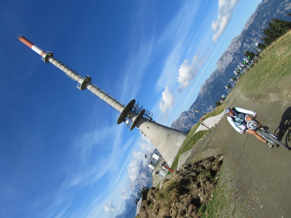
Galerija izletov


Zemljevid in višinski profil izleta
Minimum height 726 m
Maximum height 1846 m
More about the tour author
|
|
hubnere |
Komentarji

den Ausgangspunkt in Haus erreicht man über die Ennstalbundesstrasse B320 - in Haus mehrere Parkmöglichkeiten.
Poti GPS
Trackpoints-
GPX / Garmin Map Source (gpx) download
-
TCX / Garmin Training Center® (tcx) download
-
CRS / Garmin Training Center® (crs) download
-
Google Earth (kml) download
-
G7ToWin (g7t) download
-
TTQV (trk) download
-
Overlay (ovl) download
-
Fugawi (txt) download
-
Kompass (DAV) Track (tk) download
-
List z izleti (pdf) download
-
Original file of the author (gpx) download
More about the tour author
|
|
hubnere |
Add to my favorites
Remove from my favorites
Edit tags
Open track
My score
Rate