


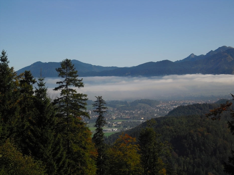
Wir starten am Lechfall Füssen und gehen auf dem Ländeweg Richtung Vils / Tirol. Nun gehts durch die Vilser Scharte zum Alatsee. Um den Westteil des Sees kommen wir nun auf teils knackigen Steigungen zur Salober Alpe (Mo/Di. Ruhetag). Hier gibts schöne Ausblicke auf Säuling, Tegelberg und Lechtal. Vor der Saloberalpe gehen wir den Weg E4 zum Vierseenblick mit Aussicht auf Weißensee, Hopfensee und Forggensee. Der Rückweg führt nun zum Alatsee entlang dem Faulenbach nach Füssen.
Der Start könnte auch ab Bad Faulenbach nähe Tennisplatz sein, hier gibts auch Parkmöglichkeiten.
Further information at
http://www.saloberalm.deGalerija izletov


Zemljevid in višinski profil izleta
Minimum height 647 m
Maximum height 1125 m
More about the tour author
|
|
Bockrider |
Komentarji

Füssen auf B17 zum Lechfall. Hier gibts Parkmöglichkeit. Oder Füssen Alatseestrasse bis Bad Faulenbach.
Poti GPS
Trackpoints-
GPX / Garmin Map Source (gpx) download
-
TCX / Garmin Training Center® (tcx) download
-
CRS / Garmin Training Center® (crs) download
-
Google Earth (kml) download
-
G7ToWin (g7t) download
-
TTQV (trk) download
-
Overlay (ovl) download
-
Fugawi (txt) download
-
Kompass (DAV) Track (tk) download
-
List z izleti (pdf) download
-
Original file of the author (gpx) download
More about the tour author
|
|
Bockrider |
Add to my favorites
Remove from my favorites
Edit tags
Open track
My score
Rate