


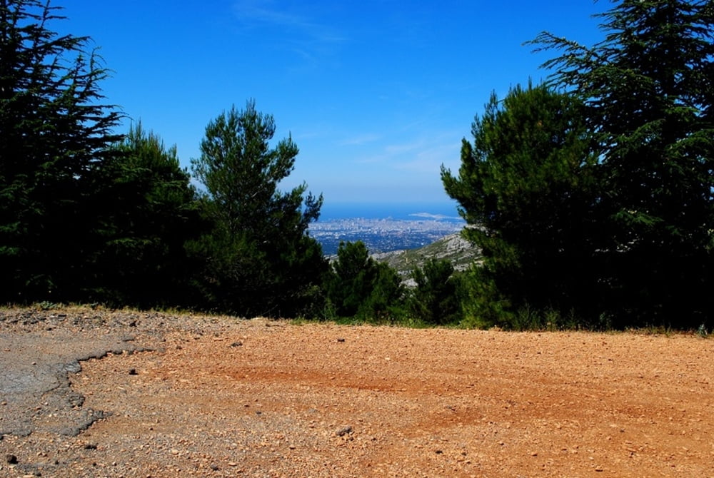
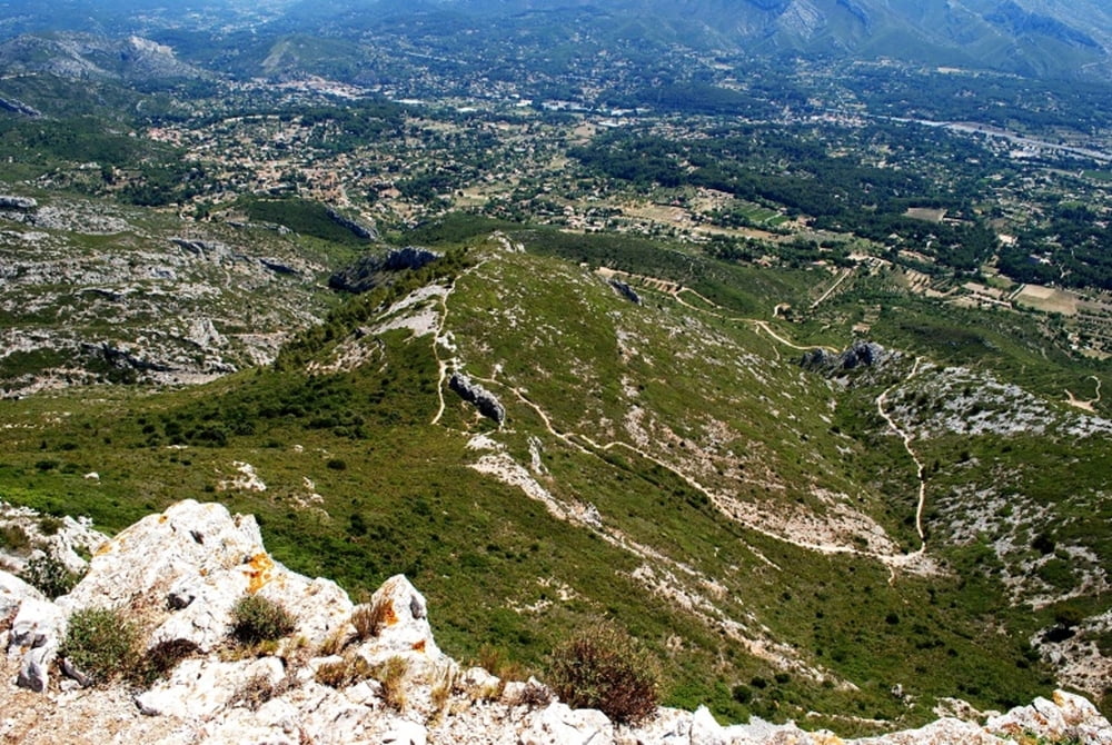
Von Roquevaire aus geht es auf der Straße Richung La Destrousse (D96). Kurz vor der Abzweigung nach Auriol (D560) geht es vor einer Autowerkstätte links weg von der Straße auf eine Schotterstraße. Diese schlängelt sich im schütteren Wald nach oben. Blick auf Roquevaire und Peypin. An der Snderstation vorbei geht es in leicher Steigung Richtung Südosten. Man bekommt dann erste Blicke Richtung Marseille. An der Abzweigung zum Fussweg Richtung Spitze des Garlaban steht eine Steinsäule mit Marienfigur. Der Weg zu Fuss auf den Garlaban zahlt sich auf jeden Fall aus. Der Ausblick dort oben ist traumhaft. Hinunter geht es dann in Serpentinen bis zur Abzweigung Richtung Roquevaire. Man fährt dort in halber Höhe zum Teil entlang einer Straße, die für die Feuerwehr errichtet wurde.
Eine technisch nicht anspruchsvolle und konditionell bewältigbare Runde für die Seele....
Galerija izletov


Zemljevid in višinski profil izleta
Minimum height 155 m
Maximum height 712 m
More about the tour author

|
headshock666 |
Komentarji

Poti GPS
Trackpoints-
GPX / Garmin Map Source (gpx) download
-
TCX / Garmin Training Center® (tcx) download
-
CRS / Garmin Training Center® (crs) download
-
Google Earth (kml) download
-
G7ToWin (g7t) download
-
TTQV (trk) download
-
Overlay (ovl) download
-
Fugawi (txt) download
-
Kompass (DAV) Track (tk) download
-
List z izleti (pdf) download
-
Original file of the author (gpx) download
More about the tour author
|
|
headshock666 |
Add to my favorites
Remove from my favorites
Edit tags
Open track
My score
Rate