Streckenverlauf:
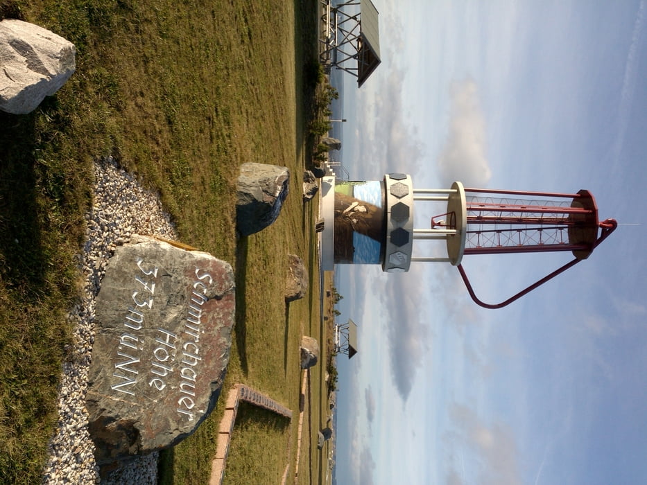
Kleinstechau - Beerwalde - Raitzhain - Ronneburg - Neue Landschaft - Schmirchauer Höhe - Paitzdorf - Mennsdorf - Posterstein - Löbichau - Kleinstechau
Kleinstechau - Beerwalde - Raitzhain - Ronneburg - Neue Landschaft - Schmirchauer Höhe - Paitzdorf - Mennsdorf - Posterstein - Löbichau - Kleinstechau
Further information at
http://www.wismut.de/de/begehbare_landkarte.phpGalerija izletov
Zemljevid in višinski profil izleta
Minimum height 242 m
Maximum height 373 m
Komentarji

Von der B7 kommend gleich hinter dem Ortseingangsschild Löbichau links an der Schweinezuchtanlage, siehe auch POI Parkmöglichkeit.
Poti GPS
Trackpoints-
GPX / Garmin Map Source (gpx) download
-
TCX / Garmin Training Center® (tcx) download
-
CRS / Garmin Training Center® (crs) download
-
Google Earth (kml) download
-
G7ToWin (g7t) download
-
TTQV (trk) download
-
Overlay (ovl) download
-
Fugawi (txt) download
-
Kompass (DAV) Track (tk) download
-
List z izleti (pdf) download
-
Original file of the author (gpx) download
Add to my favorites
Remove from my favorites
Edit tags
Open track
My score
Rate


