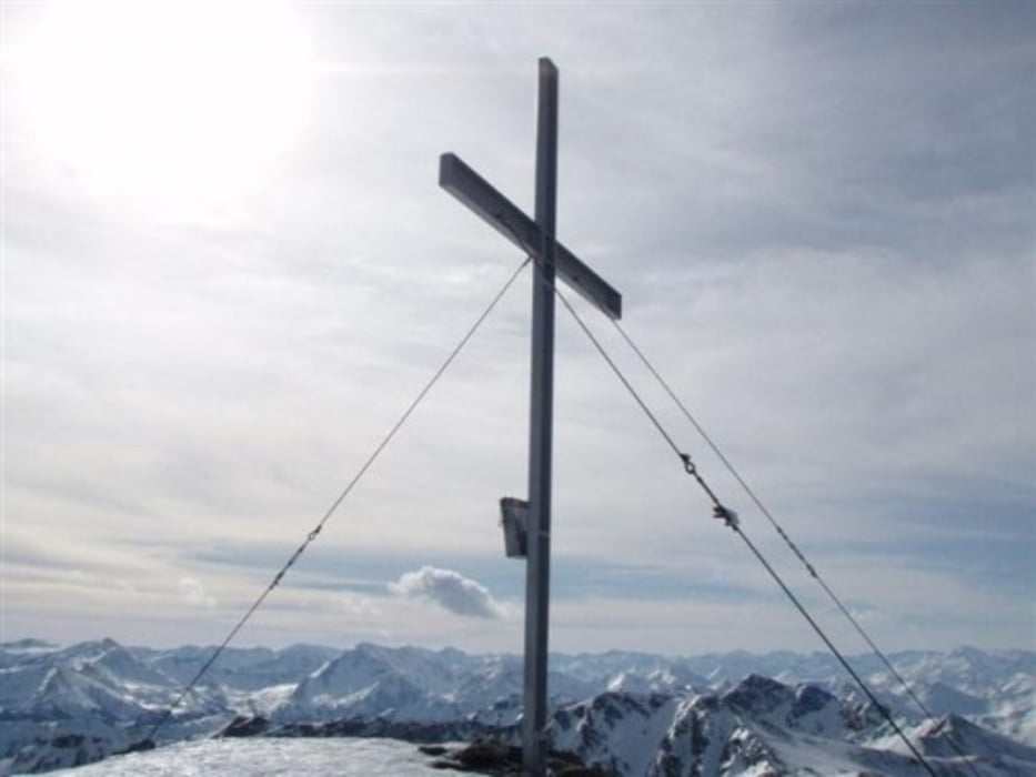
Parkmöglichkeit beim Gasthof Almwirt, von dort über eine Wiese und einer leicht ansteigende Forststrasse weiter zu einer Mulde. Jetzt sieht man zum ersten mal den Gipfelhang. Sehr schöne, leichte Skitour. Das Gasthaus hat nicht immer offen Einkehrmöglichkeit im Ort Oppenberg.
mehr Bilder: seppdepp.heim.at
Galerija izletov
Zemljevid in višinski profil izleta
Minimum height 1095 m
Maximum height 2178 m
Komentarji

Poti GPS
Trackpoints-
GPX / Garmin Map Source (gpx) download
-
TCX / Garmin Training Center® (tcx) download
-
CRS / Garmin Training Center® (crs) download
-
Google Earth (kml) download
-
G7ToWin (g7t) download
-
TTQV (trk) download
-
Overlay (ovl) download
-
Fugawi (txt) download
-
Kompass (DAV) Track (tk) download
-
List z izleti (pdf) download
-
Original file of the author (gpx) download
Add to my favorites
Remove from my favorites
Edit tags
Open track
My score
Rate

